

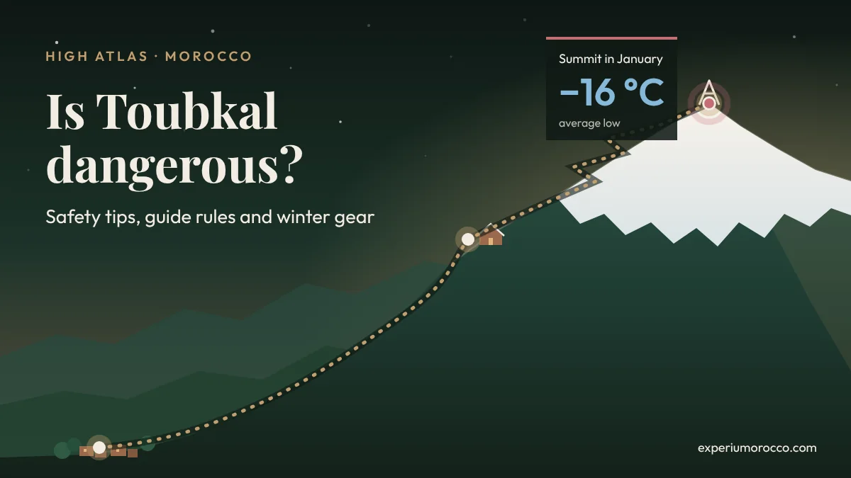
Toubkal’s normal route needs no climbing skills, but the mountain does not forgive carelessness. At 4,167 metres it is the highest peak in North Africa, and much of the trouble up there has little to do with fitness: it comes from going on the wrong day, with the wrong gear or without anyone who knows the ground. This guide brings together what official bodies advise and what the guides in Imlil tell every group before they set off.
- Since 2019 you cannot climb Toubkal without a licensed guide, and there are checkpoints on the trail.
- Fog, storms, snowfall or strong wind higher up mean no summit attempt. Serious accidents happen mostly in the cold season.
- From November to March, the average low on the summit is between −11 and −16 °C (12 to 3 °F), before wind chill.
- You need to be fit: there are over 2,400 metres of ascent from Imlil.
- Your gear is your line of defense against the cold. You can buy or rent it in Imlil.
Can you climb Toubkal without a guide? No, not since 2019
Since 2019, Toubkal can only be climbed with a licensed guide, and checkpoints on the trail make sure of it. The rule applies to everyone, whatever their mountain experience. There is a good reason for it: in clear weather the path from Imlil is obvious, but in fog or after fresh snow the tracks vanish and the ground changes from one day to the next.
In Morocco, guiding is regulated by Law 05-12. The Ministry of Tourism recognises two categories, and the one that covers the mountains is the natural areas guide: someone who leads walks and treks in the mountains and the desert, on paths that do not call for climbing, mountaineering or ski techniques. The ministry publishes the list of licensed tourist guides on its website, and you can filter it by category and name. Ask your guide for their card and check it. It takes a minute.
In early October 2026, a Polish hiker wanted to climb Toubkal on his own. The authorities would not let him continue without a guide. Instead of turning back, he looked for another way round the checkpoint, carried on alone and ended up lost on the mountain.
The guides in Imlil have been passing the story on to each other, and it shows better than any rulebook why you go with someone who knows the mountain.
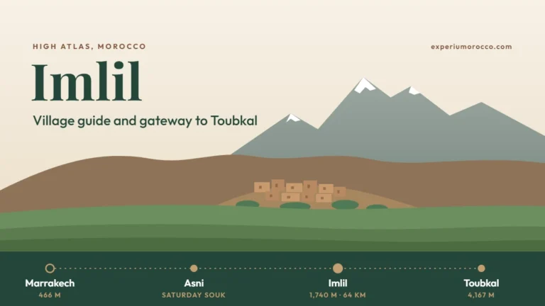
If you have not been to the trailhead village yet, our Imlil village guide explains how to get there from Marrakech and what to see.
What official bodies advise
None of these sources mentions Toubkal by name, but their advice on Morocco’s mountains points the same way.
| Source | What it advises |
|---|---|
| UK governmentGOV.UK travel advice | Research the trail and the experience it needs, carry water, sunscreen and suitable clothing, hire a professional guide and get travel insurance that covers the activity. |
| Spain’s foreign ministryTravel recommendations | Take extra care with risk sports such as mountaineering, use registered official guides and bear in mind that rescue services can be limited depending on the area. |
| France’s foreign ministryConseils aux voyageurs | Warns that local emergency capacity is often limited, mountain rescue included, and strongly recommends travel insurance or an assistance contract. |
| Morocco’s Ministry of Tourism | Regulates the guiding profession (Law 05-12) and publishes the list of licensed guides. |
| NHSUK National Health Service | Climb slowly, drink enough water, avoid alcohol and stop going higher if you get altitude sickness symptoms. |
| Morocco’s weather serviceDGM | Publishes a daily weather warning map by province. Toubkal is in Al Haouz province. |
In practice it comes down to three things: a licensed guide, travel insurance that covers trekking at altitude and rescue, and a look at the DGM warning map before you leave. Save the emergency numbers too: 177 for the Royal Gendarmerie in rural areas, 150 for Civil Protection (fire and ambulance) and 190 for the police.
When not to climb: the weather decides
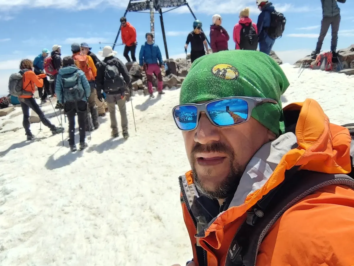
This rule is not up for discussion: if the weather is unsettled, if there is fog, a storm, snowfall or strong wind higher up, you do not go for the summit. Not with a guide, not in a hurry, not because it is the last day of your trip. The mountain will still be there, and above 4,000 metres in poor visibility there is very little room for error.
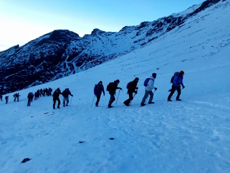
Serious accidents happen mostly in the cold season, when hard snow and ice turn a slip into a long fall. 2026 brought two reminders. On 18 January, according to the local authorities in Al Haouz, an avalanche hit a group walking down from the refuge towards Imlil with two guides: two Moroccan hikers and one of the guides were killed. On 14 November, a 25-year-old woman died near the summit after slipping on an icy slope, according to early reports in the Moroccan press; her guide was injured.
Both groups had guides. In winter, even the best guide cannot take away the risk of snow and ice, which is why the decision not to set off, or to turn back in time, matters as much as having a guide.
- Fog or poor visibility.
- Storm, snowfall or strong wind higher up.
- An orange or red DGM warning for Al Haouz.
- Fresh snow on slopes, with avalanche risk.
- Hard ice without crampons, an ice axe or the skills to use them.
- Uncertain forecast: set off with a firm turnaround time.
- Someone has a headache, nausea or dizziness.
- The group is much slower than planned.
- Stable forecast with no warnings.
- Group rested, hydrated and free of symptoms.
- All gear packed and checked the night before.
- Your guide gives the go-ahead.
A turnaround time is the simplest safety tool and the one people forget most. Agree on it before leaving the refuge, and if you have not reached the top by then, you turn round, even if the summit looks close. The descent, on tired legs, is part of the climb too.
How cold is Toubkal? Temperatures by month and altitude
As you climb, the air cools by about 6.5 °C for every 1,000 metres on average. Using that lapse rate and twenty years of NASA daily data, we estimated the temperature in Imlil, at the refuge and on the summit for every month. Pick a month on the graphic to see the gear you will usually need as well.
Embed this graphic
Copy this code and paste it into your site, in an HTML block. The graphic works on its own, adapts to mobile and includes a link to the source.
January · Mountain winter: snow and ice higher upFebruary · Mountain winter: snow and ice higher upMarch · Mountain winter: snow and ice higher upApril · Shoulder season: snow is possible higher upMay · Shoulder season: snow is possible higher upJune · Summer: hot below, cold at dawn on the summitJuly · Summer: hot below, cold at dawn on the summitAugust · Summer: hot below, cold at dawn on the summitSeptember · Summer: hot below, cold at dawn on the summitOctober · Shoulder season: snow is possible higher upNovember · Mountain winter: snow and ice higher upDecember · Mountain winter: snow and ice higher up
- Waterproof mountain bootsEssential
- Warm layersEssentialEssentialEssentialEssentialEssentialEssentialRecommendedRecommendedEssentialEssentialEssentialEssential
- Waterproof, windproof jacketEssential
- Warm hatEssentialEssentialEssentialEssentialEssentialEssentialRecommendedRecommendedEssentialEssentialEssentialEssential
- Good glovesEssentialEssentialEssentialEssentialEssentialEssentialRecommendedRecommendedEssentialEssentialEssentialEssential
- SunglassesEssential
- Crampons and ice axeEssentialEssentialEssentialDepends on snowDepends on snowNot usually neededNot usually neededNot usually neededNot usually neededDepends on snowEssentialEssential
- You can buy or rent mountain gear in Imlil.
See the month-by-month data
| Month | Imlil | Refuge | Summit |
|---|---|---|---|
| January | 0° / 5° | −10° / −4° | −16° / −10° |
| February | 1° / 6° | −9° / −3° | −15° / −9° |
| March | 3° / 9° | −7° / 0° | −13° / −7° |
| April | 5° / 12° | −4° / 3° | −10° / −3° |
| May | 9° / 17° | −1° / 7° | −7° / 1° |
| June | 12° / 21° | 3° / 11° | −4° / 5° |
| July | 18° / 26° | 8° / 16° | 2° / 10° |
| August | 18° / 25° | 8° / 16° | 2° / 10° |
| September | 13° / 20° | 4° / 10° | −2° / 4° |
| October | 10° / 16° | 0° / 6° | −6° / 0° |
| November | 5° / 10° | −5° / 0° | −11° / −6° |
| December | 1° / 7° | −8° / −3° | −15° / −9° |
Estimated average temperatures in °C. Daily data for 2005-2024 from NASA POWER (MERRA-2 reanalysis) for the grid cell over the massif, adjusted for altitude with the standard lapse rate of 6.5 °C per 1,000 m. The low comes before dawn, when you set off for the summit. Wind makes it feel much colder. Gear is a guide only: your mountain guide decides on the day, and adds a rope in winter when conditions call for it.
Graphic: Experium Morocco
Look at the gap. In January, while Imlil sits around 0 °C (32 °F) at dawn, the refuge drops to about −10 °C (14 °F) and the summit to −16 °C (3 °F), and the summit push starts in those early hours. In July and August it is the other way round lower down: the valley is hot, yet the low on the summit stays close to 2 °C (36 °F). That is why warm clothes go in your pack in every season.
Do you run a hiking blog or an outdoor website? Use the “Embed this graphic” button to add it to your page. The code works on its own and includes a link to the source.
Fitness and altitude sickness
You do not need to be a mountaineer, but you do need to be fit. From Imlil (1,740 m) to the summit there are 2,427 metres of ascent. Summit day is the hardest: from the refuge the climb is steady and sustained up to the Akhbi n’Tizi bowl, at around 3,700 metres, then on to the Toubkal col at 3,950 metres before the final stretch. On our treks, summit day takes 7 to 10 hours on foot, depending on whether you sleep at the refuge again or walk all the way down to Imlil the same day, which means more than 2,300 metres of descent.
- Long days with ascent. In the weeks before, hike in hills or mountains, ideally two days in a row so your legs get used to back-to-back efforts.
- Train in your kit. Wear the boots and carry the pack you will use, so you find the blisters at home and not at 3,000 metres.
- Stairs and hills. On weekdays they build stamina and leg strength.
- See your doctor before booking if you have a heart or lung condition.
Above about 2,500 metres you can get altitude sickness. According to the NHS, symptoms usually start 6 to 10 hours after arriving at altitude: headache, loss of appetite, nausea, tiredness, dizziness and difficulty sleeping. The rule is simple: with symptoms, you go no higher. If they do not improve within a day or get worse, go down 300 to 1,000 metres.
The NHS also advises against going from below 1,200 metres to above 3,500 metres in a single day. Rushing from Marrakech to the summit without a night on the way is exactly that.
Confusion, loss of balance, breathlessness at rest, a cough with frothy or bloody spit, blue lips or nails and extreme drowsiness are emergency signs, according to the NHS. Descend at once and get help.
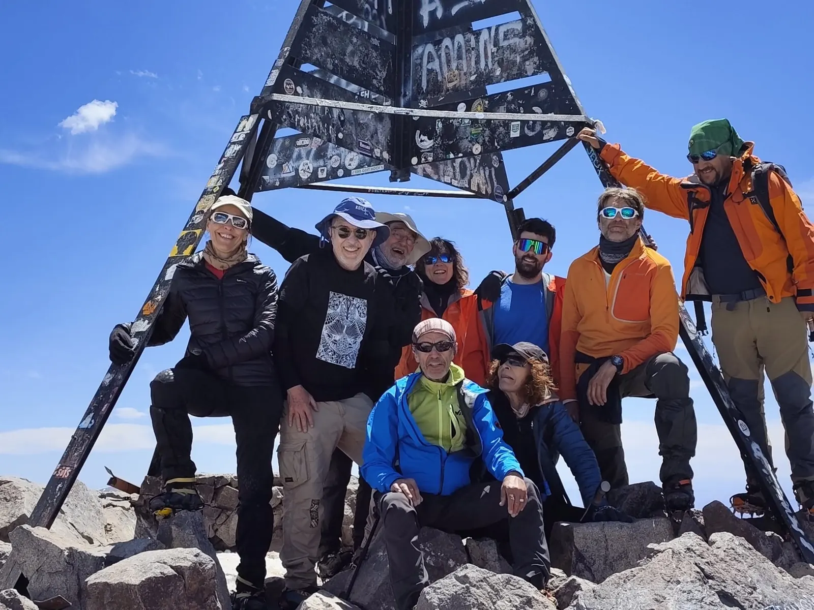
Toubkal gear: your line of defense against the cold
On Toubkal, gear is not an extra: it is what stands between you and the cold, the wind and the ice. Think of it as layers of defense. If one fails, the next one has to hold.
- Waterproof mountain boots with a good sole, already broken in. Trainers are no use on snow or loose rock.
- Good gloves, ideally two pairs: a thin pair and a thick, waterproof pair. Your hands are the first thing to get cold at dawn.
- A warm hat in wool or fleece, and a neck gaiter.
- Sunglasses with proper protection: the sun is strong up there and snow doubles the glare.
- Layers: a thermal base layer, a fleece or down jacket and, on top, a waterproof, windproof shell.
- In winter, crampons and an ice axe, plus a rope when your guide decides it is needed. Gaiters keep snow out of your boots.
- Head torch, trekking poles, sunscreen, water and snacks.
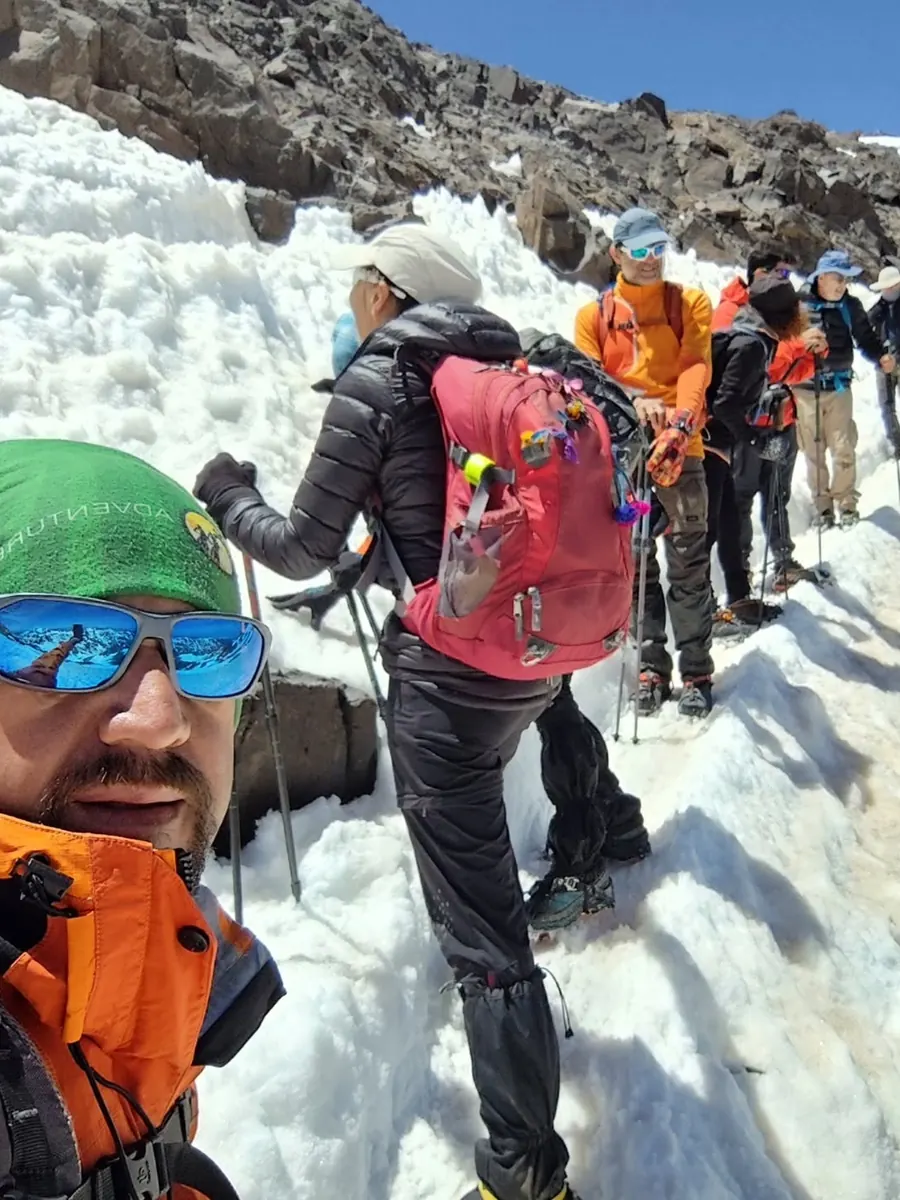
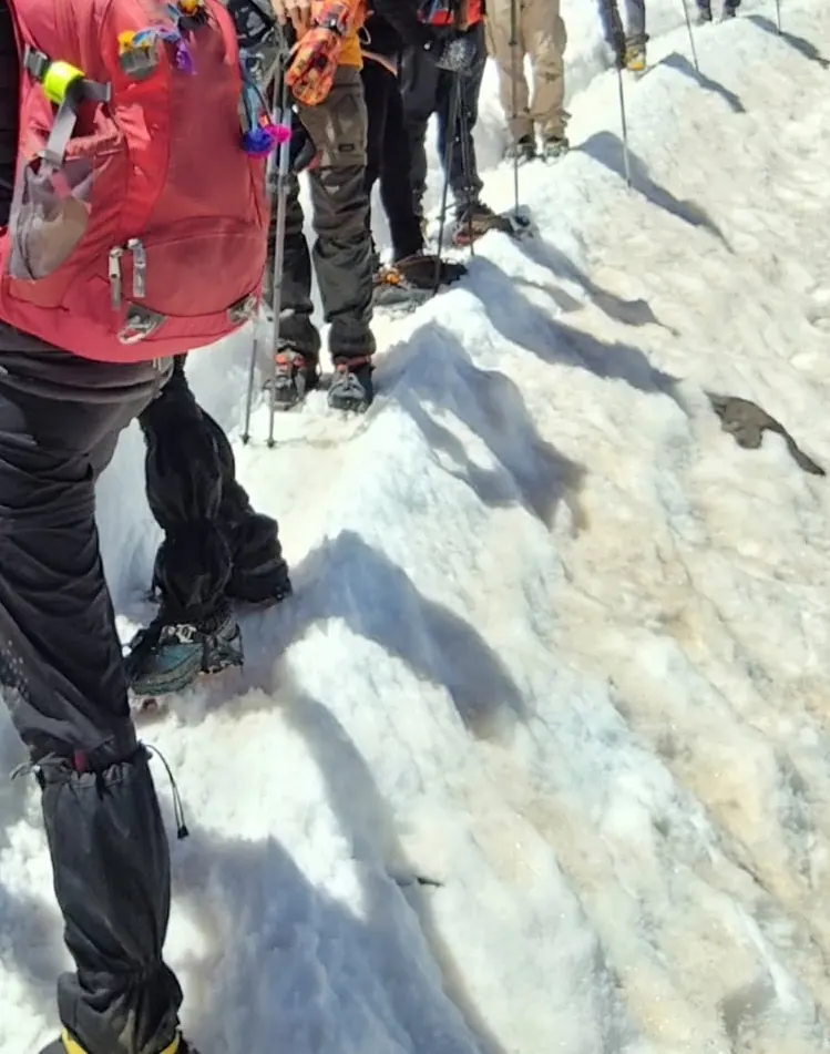
You do not have to bring everything from home: in Imlil there are shops where you can buy or rent mountain gear. If you rent, try the boots on with the socks you will wear, and check with your guide that the crampons fit them before you head up to the refuge.
Before you go: a short checklist
- Licensed guide booked and checked on the Ministry of Tourism list.
- Travel insurance that covers mountain trekking and rescue.
- DGM warning map checked the evening before and on the morning itself.
- Emergency numbers saved in your phone: 177, 150 and 190.
- Gear checked: boots, layers, gloves, hat, sunglasses and, in winter, crampons and an ice axe.
- Someone at home knows your plan and your return date.
For the route day by day, timings and the best season, read our Mount Toubkal trek guide. And if you would rather climb at a steady pace with time to acclimatise, our 4-day Toubkal trek with summit climb leaves from Marrakech with a licensed guide.
Toubkal safety: frequently asked questions
Do you need a guide to climb Toubkal?
Yes. Since 2019 the climb can only be done with a licensed guide, and there are checkpoints on the way. You can check your guide on the list published by Morocco’s Ministry of Tourism.
Is Toubkal dangerous?
In good weather, with a guide and proper gear, the normal route is not technical. The real danger comes with snow, ice, fog and wind, especially in the cold season, which is when the serious accidents happen.
Can you climb Toubkal in winter?
Yes, with a guide, crampons and an ice axe, the skills to use them and only with a stable forecast. In winter Toubkal is a different mountain: colder, icier and with tougher days.
What is the temperature on the summit of Toubkal?
Based on our estimate from NASA data, the average low on the summit is about −16 °C (3 °F) in January and 2 °C (36 °F) in July and August. Wind makes it feel much colder.
Where can you rent gear for Toubkal?
In Imlil, the trailhead village, there are shops where you can buy or rent mountain gear. Try it on before you head up to the refuge.
How many days do you need to climb Toubkal?
The usual plan is to walk up to the refuge on day one and reach the summit the next day. An extra day to acclimatise makes the climb easier. Our Mount Toubkal trek guide covers the options.
Sources
- GOV.UK: Morocco travel advice, safety and security.
- Ministry of Tourism, Handicrafts and Social and Solidarity Economy (Morocco): tourist guides and list of licensed guides (Law 05-12).
- Spanish Ministry of Foreign Affairs: travel recommendations for Morocco.
- French Ministry for Europe and Foreign Affairs: conseils aux voyageurs, Maroc.
- NHS: Altitude sickness.
- Morocco’s General Directorate of Meteorology (DGM): weather warning map.
- NASA Langley Research Center: NASA POWER, daily data 2005-2024 (grid cell 31.1° N, 7.92° W).
- Local authorities of Al Haouz province: information released through the MAP news agency on the avalanche of 18 January 2026.
- Moroccan press (16 November 2026): fatal accident near the summit on 14 November.