

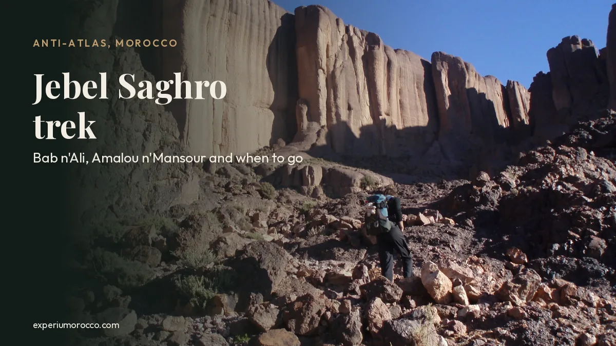
A Jebel Saghro trek takes you into a range of old volcanic rock south of the High Atlas, between the Dades Valley and the edge of the Sahara. There are no forests or glaciers here, just flat-topped mesas, conglomerate cliffs, dry canyons and the rock towers of Bab n’Ali. This guide covers where the Saghro mountains are, how they formed, what to see, when to go and what a trek there is really like.
Jebel Saghro (also spelt Jbel Saghro or Djebel Sarhro) is the eastern and driest part of the Anti-Atlas, south of Tinghir and Kelaat M’Gouna. Its highest summit, Amalou n’Mansour, reaches 2,712 m (8,898 ft). It is the homeland of the Ait Atta, and you walk it with mules, sleeping in gîtes and camps. The best months are October to November and March to April; summer is far too hot.
Where are the Jebel Saghro mountains?
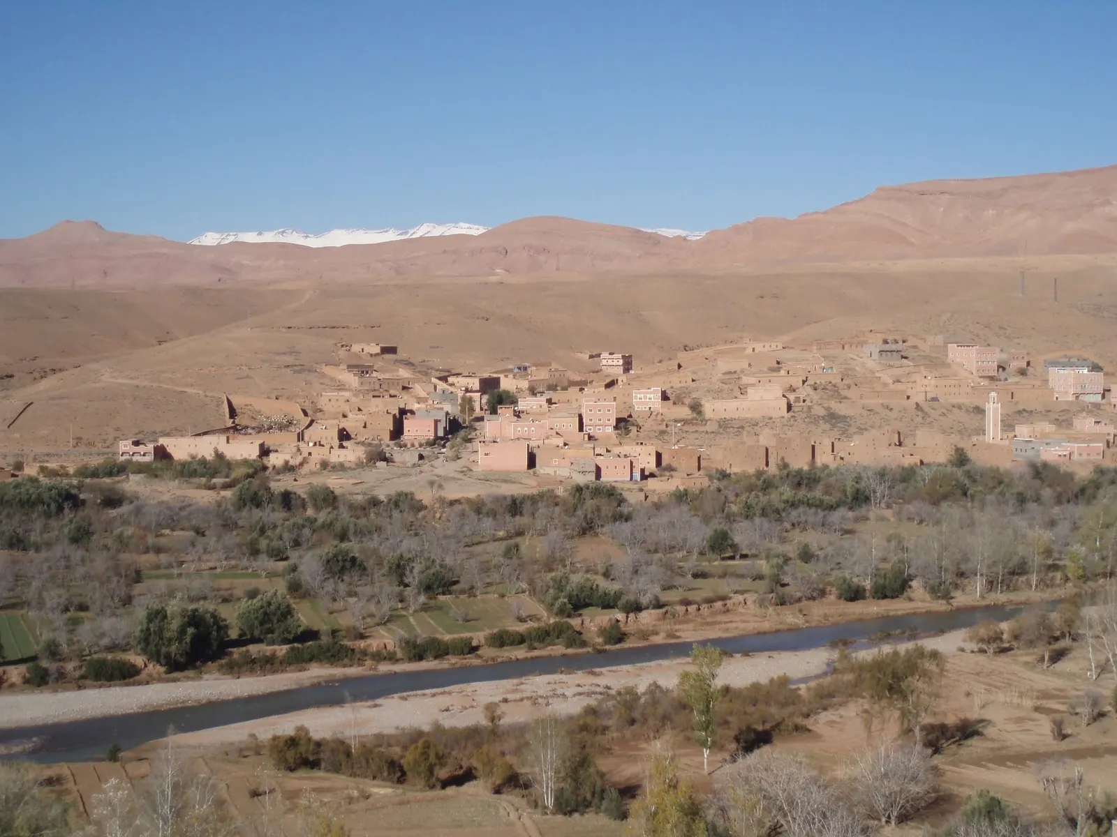
The Saghro rises south of the High Atlas, east of Ouarzazate and north of the Sahara. It forms a long ridge running parallel to the Atlas and drops sharply on its northern side to the Dades plain, home to Kelaat M’Gouna, Boumalne Dades and Tinghir, the town at the mouth of the Todra Gorge. To the south it falls towards the palm groves of N’Kob and Tazzarine, on the way to the Draa Valley.
The Draa-Tafilalet Regional Tourism Council describes it as the eastern and driest part of the Anti-Atlas. Not quite desert and not quite mountain, it is sometimes called the “Moroccan Hoggar”, because its bare rock recalls the great massif of the Algerian Sahara. The whole area lies within UNESCO’s Oases of Southern Morocco Biosphere Reserve, designated in 2000 and covering more than 7 million hectares.
A volcanic range almost 600 million years old
The Saghro landscape is far older than the High Atlas. Its rocks date from the late Precambrian, at the end of the Ediacaran period. Geologists split them into two main units: the Saghro Group, a folded series of volcanic and sedimentary rocks up to 8 km thick, and above it the Ouarzazate Group, made mostly of volcanic rock.
A 2025 study led by Cadi Ayyad University in Marrakech dated the eruptions of the Oued Dar’a caldera, in the middle of the Saghro: a first volcanic cycle between 588 and 563 million years ago, with rocks ranging from basaltic andesite to rhyolite. That is where the dark colour of so many slopes and plains comes from.
On top of that volcanic base, erosion has carved three landforms you will see again and again on the trail:
- Flat-topped mesas, called tadaout locally: big tables of rock ringed by sheer walls.
- Conglomerate cliffs, made of rounded pebbles cemented together, which wind and water cut into columns and organ pipes.
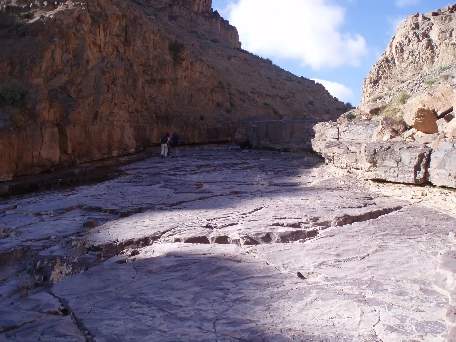
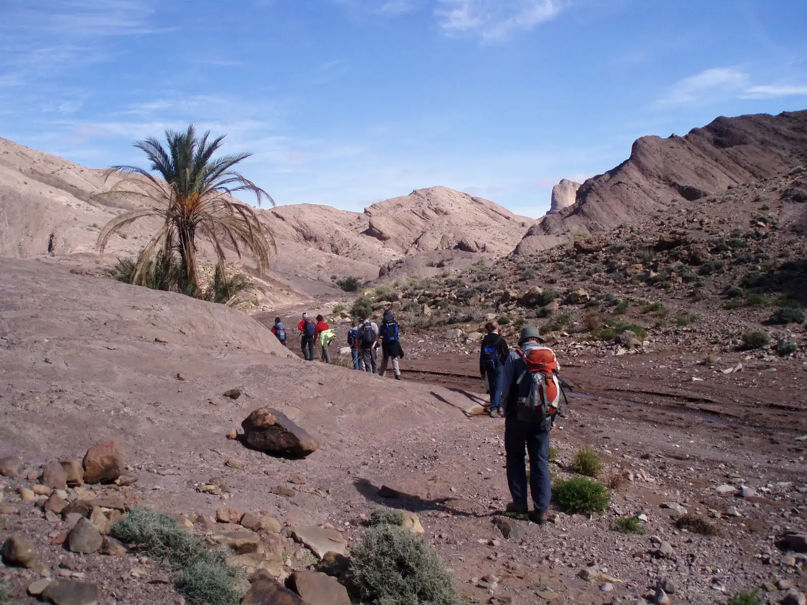
- Dry canyons, their beds polished smooth by flash floods, that only carry water after storms.
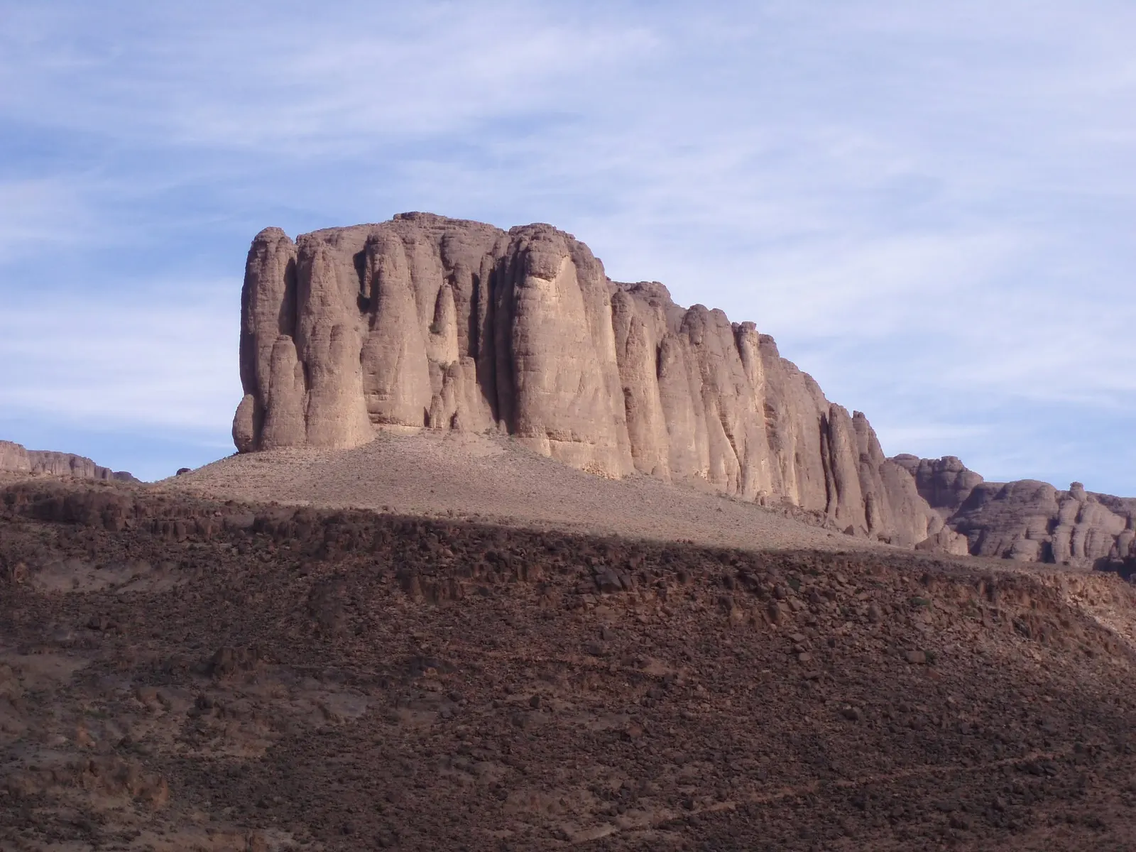
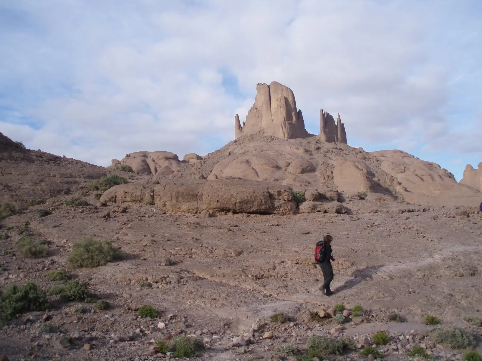
Bab n’Ali, the rock towers of the Saghro
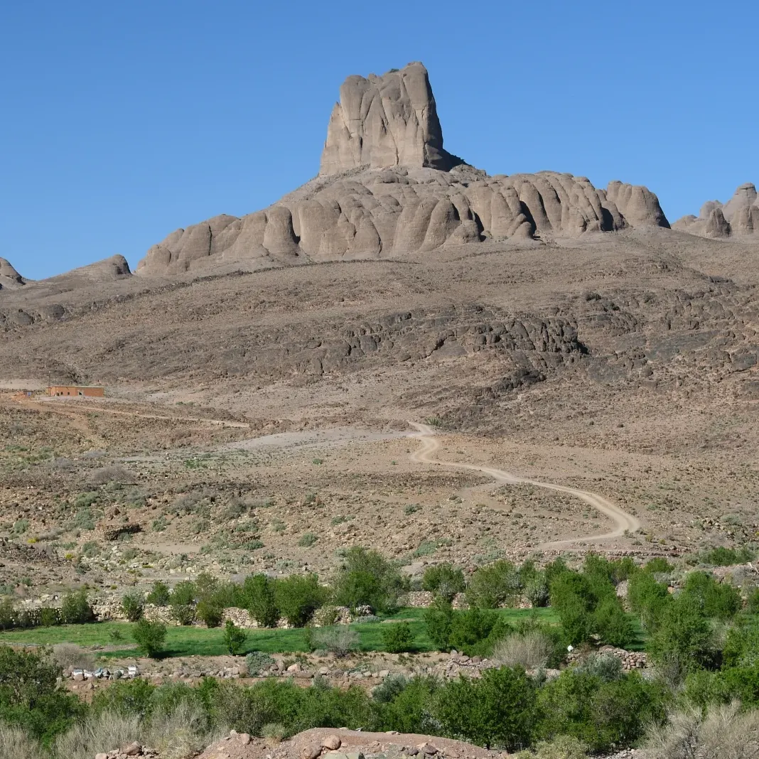
If one view sums up the Saghro, it is Bab n’Ali: a huge block of rock crowned with spires, standing against the sky on top of a rounded slope. The name mixes Arabic and Amazigh and means roughly “Ali’s gate”. It is the most photographed spot in the range and features on many hiking and cycling routes through it.
As everywhere in the Saghro, the low light of early morning and late afternoon brings out the relief best. Below the towers, small irrigated fields give the only green in the scene, a good reminder of how precious water is up here.
Amalou n’Mansour, the highest point
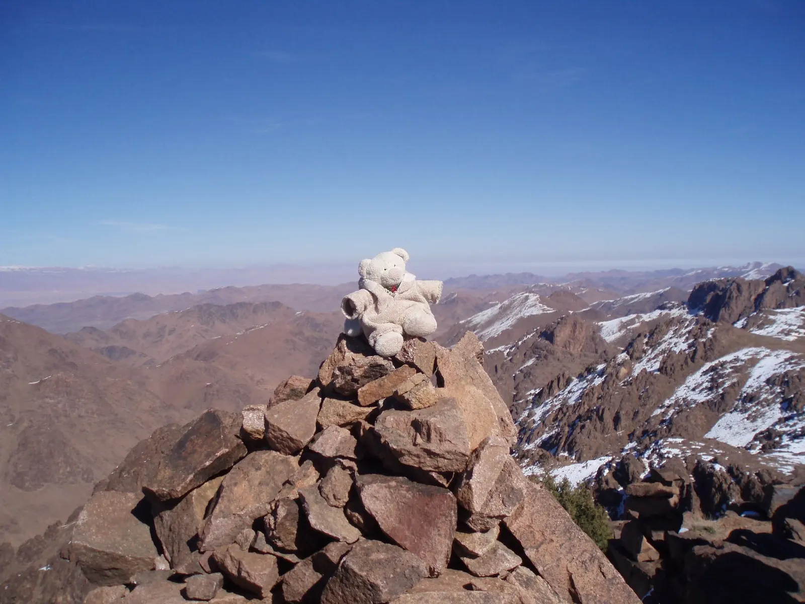
The highest summit in the range is Amalou n’Mansour, 2,712 m, which some people also call Tadrart. It is remote, and getting there takes several days of walking over stony ground. The Regional Tourism Council describes a demanding route from Alnif, past Mount Bougafer, to Iknioun, which is the one that passes this summit.
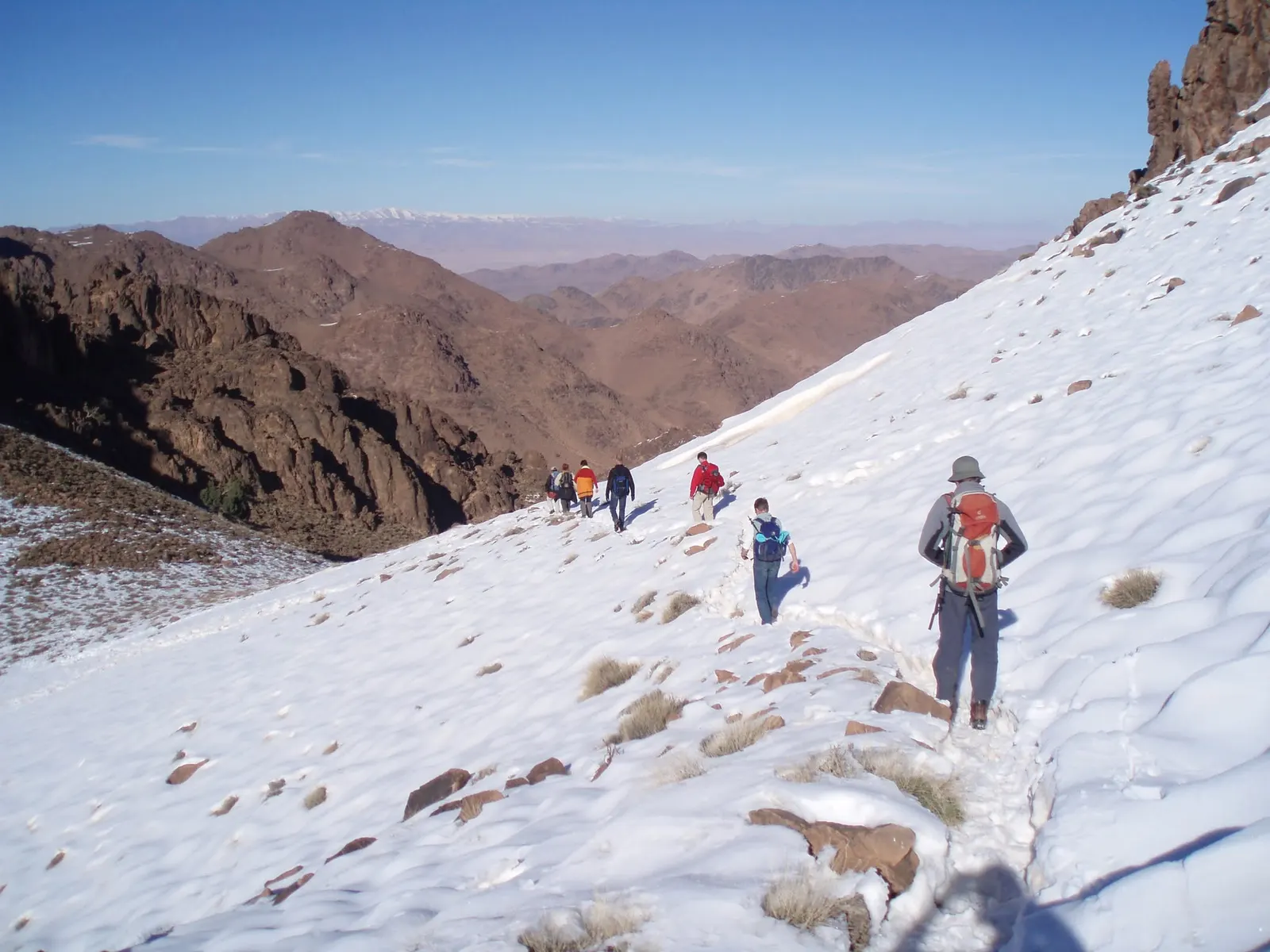
Do not be fooled by the latitude: in winter it snows on the high ground and freezing nights are normal. From the top, on clear days, you can see the white line of the High Atlas to the north and the plains opening towards the desert to the south.
The Ait Atta and the Battle of Bougafer
The Saghro is the land of the Ait Atta, a large confederation of Amazigh tribes, and of the Ait Sedrat. For centuries they were mainly transhumant herders: they moved across the range in search of winter grazing and climbed to the cooler pastures of the High Atlas in summer, because from June the mountains turn into an oven. Many still move with the seasons, and meeting flocks on the trail is common.
These mountains are also a place of memory. On 13 February 1933, the French army attacked Ait Atta fighters who had fallen back to Mount Bougafer, in the heart of the Saghro. Led by Assou Oubasslam, they held out for weeks under bombardment and siege, until the truce and negotiations of 24 March 1933. Morocco commemorates the Battle of Bougafer every year as one of the great chapters of its struggle for independence.
When to go: Jebel Saghro weather month by month
The Saghro is a winter and shoulder-season destination. Using twenty years of NASA data, we built this calendar: the big figure is the average daytime high at around 1,300 m, the height of the range’s valleys and plains; below it come the average overnight low and the estimated low on the summit.
- Jan16°low 3°summit −7°
- Feb18°low 4°summit −6°
- Mar22°low 7°summit −3°
- Apr26°low 10°summit 1°
- May30°low 15°summit 5°
- Jun35°low 19°summit 10°
- Jul39°low 24°summit 14°
- Aug38°low 23°summit 14°
- Sep32°low 19°summit 9°
- Oct27°low 14°summit 4°
- Nov21°low 8°summit −2°
- Dec17°low 4°summit −5°
- Freezing nights up high
- Best season
- Hot days
- Extreme heat
Each bar runs from the summit low to the daytime high; the tick marks the low in the valleys.
Source: NASA POWER, daily averages 2005-2024 for the cell at 31.15° N 5.65° W (mean altitude 1,285 m). Summit lows estimated with the standard atmosphere lapse rate of 6.5 °C per 1,000 m (about 9 °C colder at 2,712 m). Indicative values: wind and shade change how it feels on the ground.
The pattern is clear. October to November and March to April bring days of around 20 to 27 °C (68 to 81 °F) and cool nights: the best time to walk. December to February is mild and bright by day, but it freezes up high and can snow, so you need a warm sleeping bag. June to August tops 35 °C in the valleys, which makes walking hard work and not something we recommend. Rain is scarce, about 125 mm a year, mostly in September and October.
What a Jebel Saghro trek is like
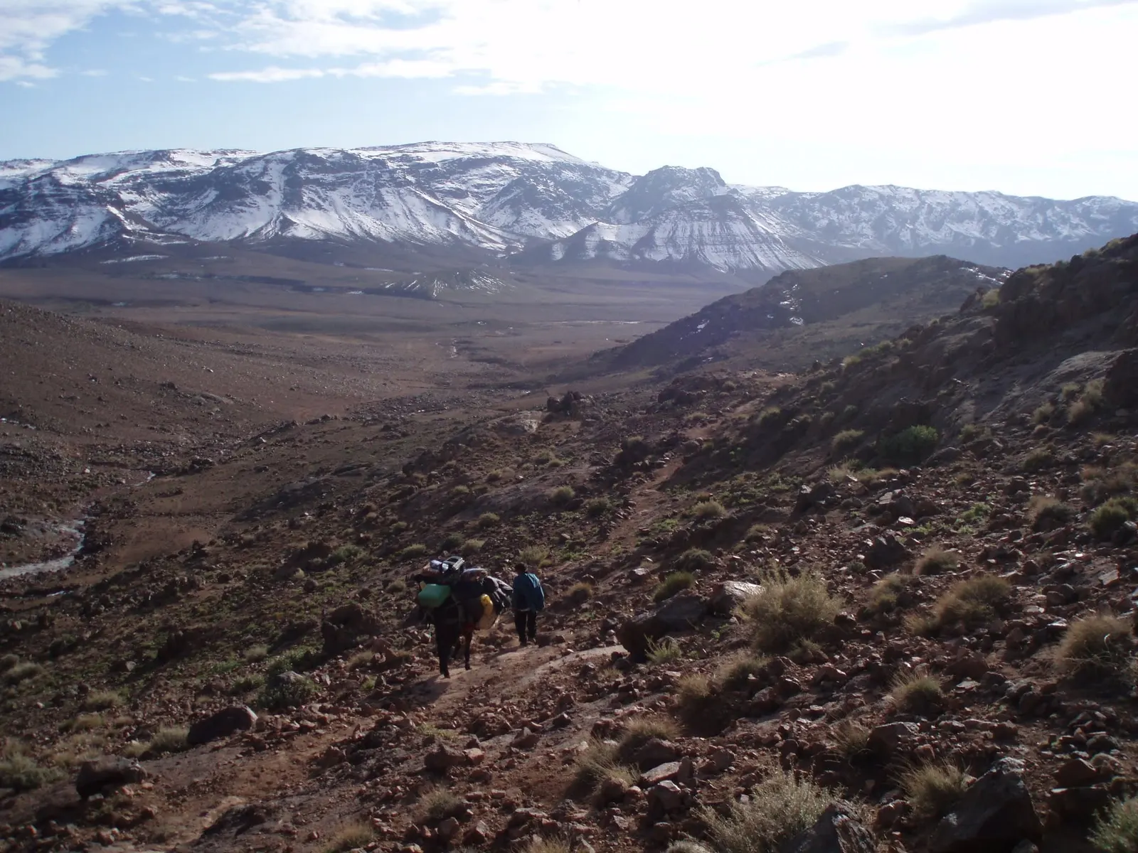
You cross the Saghro from village to village on shepherds’ paths, with little or no waymarking. According to the Regional Tourism Council, the usual traverses start on the southern side, at Tagdilt or N’Kob, and finish on the northern side towards Kelaat M’Gouna. If this is your first multi-day route, our guide to what trekking means will help you judge the effort.
This is how a typical trek runs:
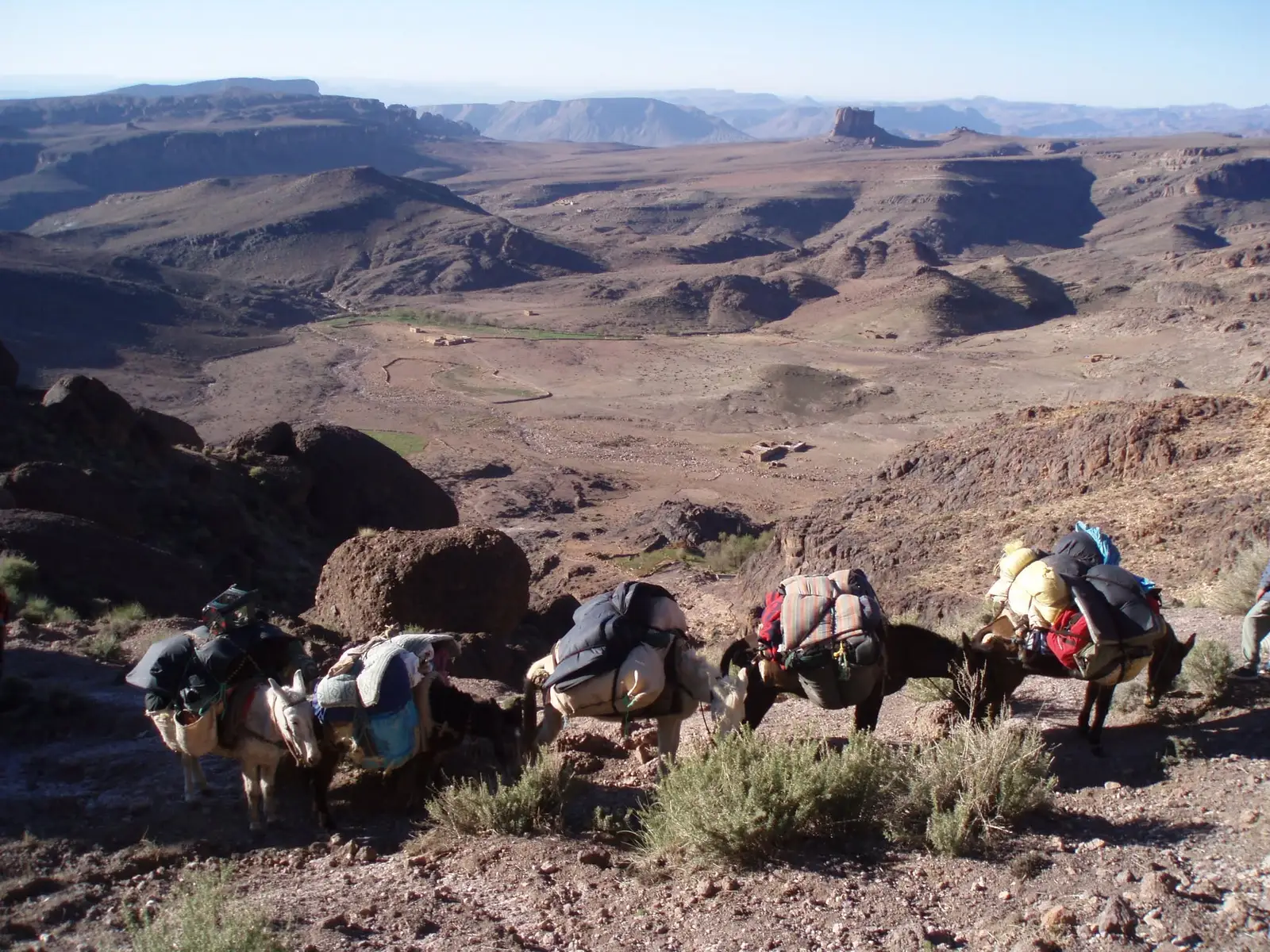
- Mules carry the load. Muleteers transport the bags, water and food; you walk with a daypack.
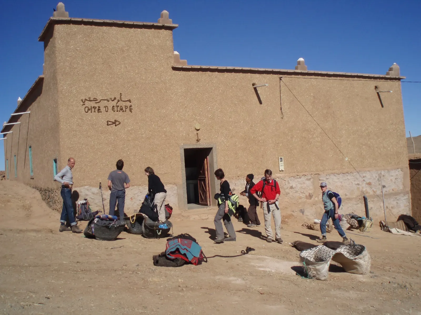
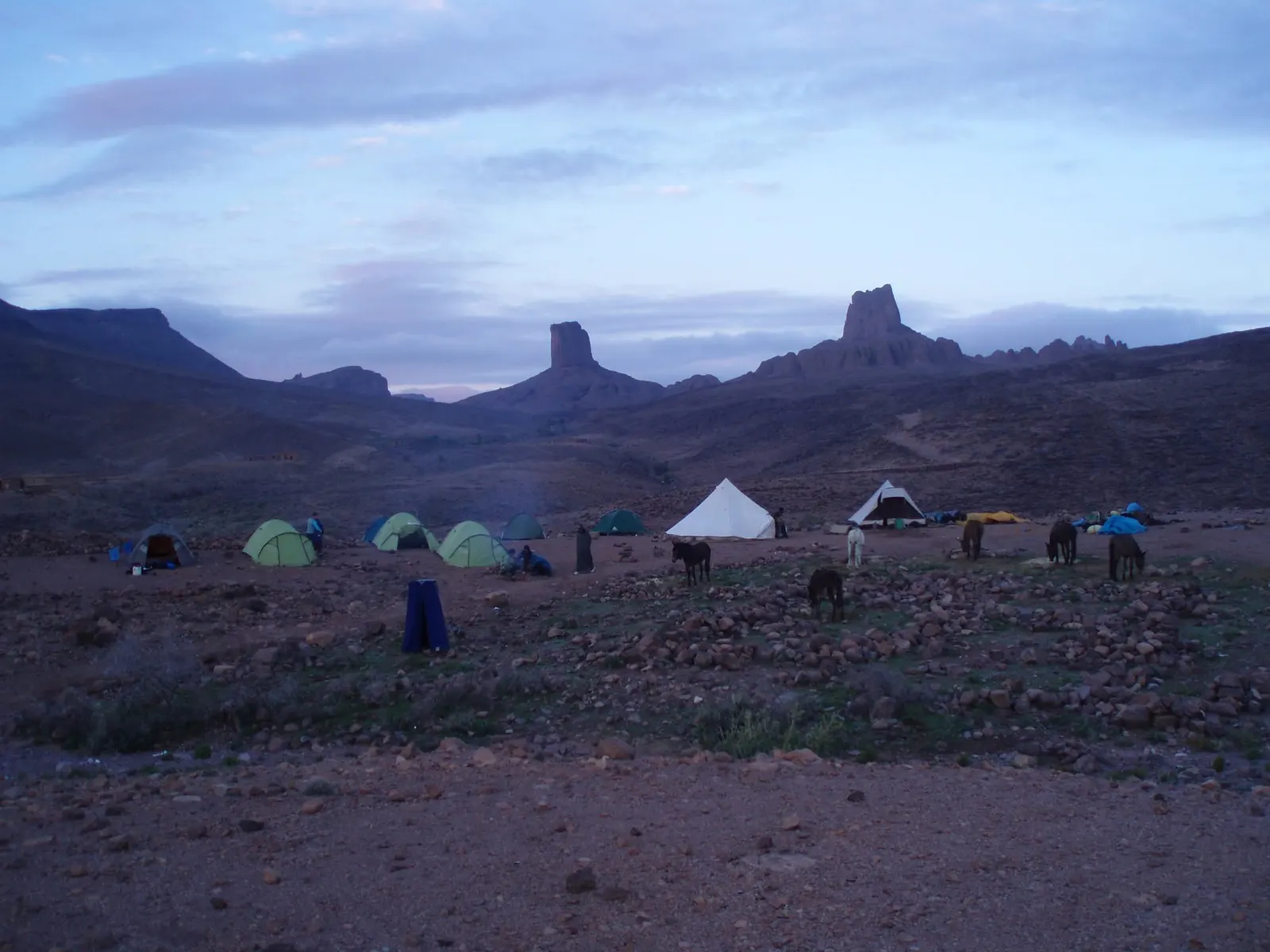
- Nights in gîtes and camps. Simple mud-brick gîtes d’étape in the villages alternate with nights under canvas.
- Stony ground. Loose rock tires you more than the gradient: boots with a good sole make all the difference.
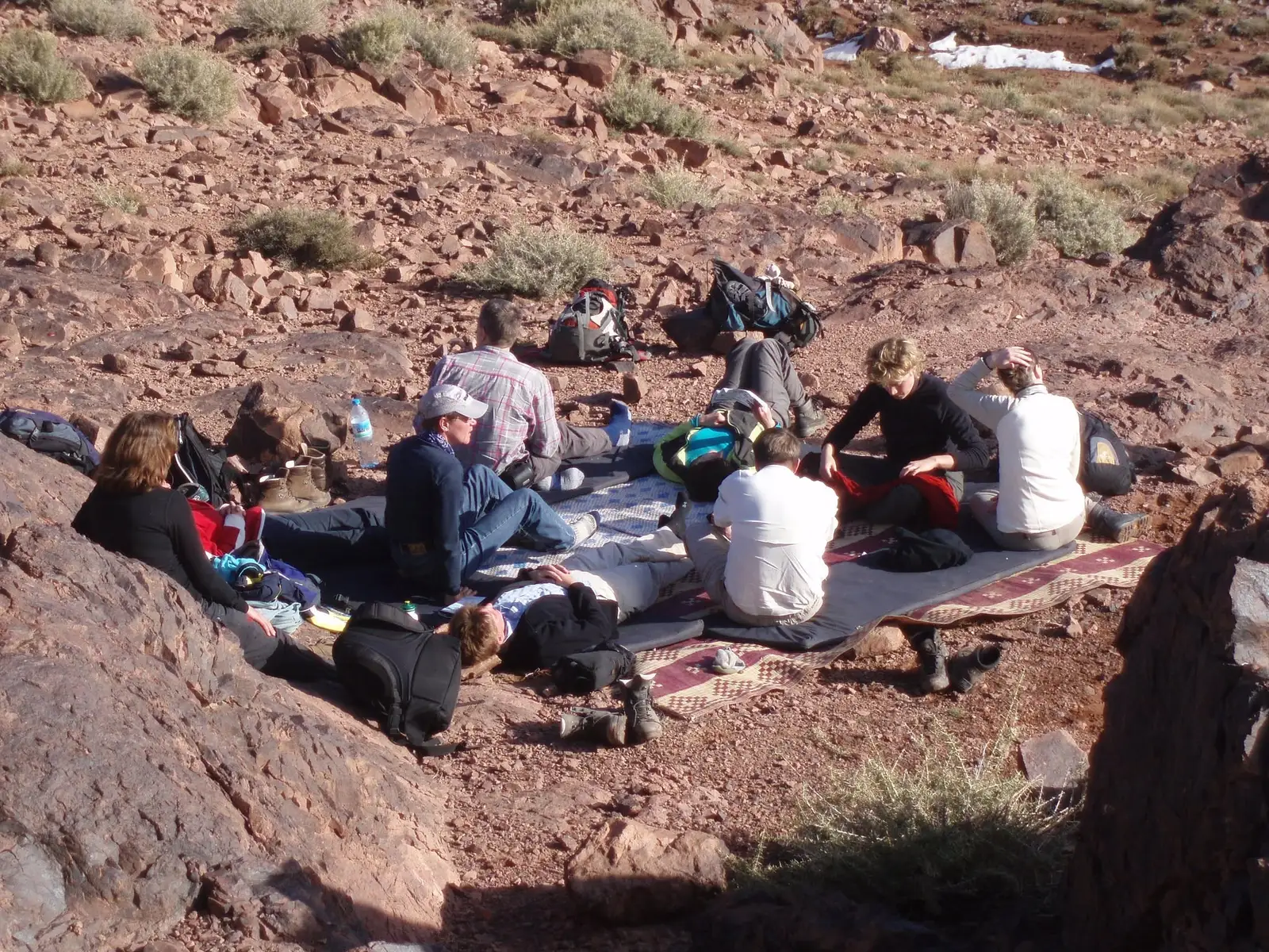
- Lunch on the trail. Lunch is laid out on rugs in the shade of a rock, and dinner is at the gîte or in camp.
Our Jbel Saghro trek covers valleys, canyons and summits over six days of walking, with mules and nights in a gîte and in camp. If you are after more altitude and snow, compare it with trekking in the High Atlas or with climbing Mount Toubkal, which reaches 4,167 m.
Tips for hiking in the Saghro
- Layer up. You go from strong midday sun to cold nights within hours, even in spring and autumn.
- Sun protection. Hat, sunglasses and sunscreen: there is very little shade.
- Water is precious. Do not waste it at village wells and springs.
- Photos with respect. Ask before photographing people, especially women and herding families.
- Pack it out. Whatever goes into your bag comes back out in it.
- Go with a licensed guide. Paths criss-cross and villages are far apart: a mountain guide knows where the water is and how the land lies.
Before you go, have a look at our guide to Sahara landscapes: erg, reg and hamada. From the southern edge of the Saghro you can see where the stony plains of the Sahara begin.
Jebel Saghro: frequently asked questions
Where is Jebel Saghro?
In south-east Morocco, south of the High Atlas and the Dades plain, between Kelaat M’Gouna and Tinghir to the north and N’Kob and Tazzarine to the south. It is the eastern part of the Anti-Atlas.
How high is Jebel Saghro?
Its highest point is Amalou n’Mansour, at 2,712 m (8,898 ft), which some people also call Tadrart.
When is the best time for a Jebel Saghro trek?
October to November and March to April. Winter works with good cold-weather gear; June to August is far too hot.
How many days do you need?
South to north traverses usually take several days. Ours has six days of walking, with mules and nights in a gîte and in camp.
What does Bab n’Ali mean?
“Ali’s gate”. Bab means “gate” in Arabic and n means “of” in Amazigh. It is the best-known rock formation in the Saghro.
Do you need a guide for Jebel Saghro?
It is strongly recommended. Paths are barely marked, villages are far apart and a licensed guide knows where to find water and how to organise the mules and the nights.
Sources
- UNESCO, Man and the Biosphere Programme: Oases of Southern Morocco Biosphere Reserve (2000).
- Michard et al., Comptes Rendus Géoscience, French Academy of Sciences (2017): the Saghro Group in the Anti-Atlas.
- Oukhro et al., Cadi Ayyad University and others, Minerals (2025): volcanic stratigraphy and ages of the Oued Dar’a caldera, Saghro massif.
- NASA Langley Research Center: NASA POWER, daily data 2005-2024.
- Draa-Tafilalet Regional Tourism Council: “Jbel Saghro” page (routes and summit).
- MAP, Moroccan news agency: reports on the commemoration of the Battle of Bougafer (13 February and 24 March 1933).