


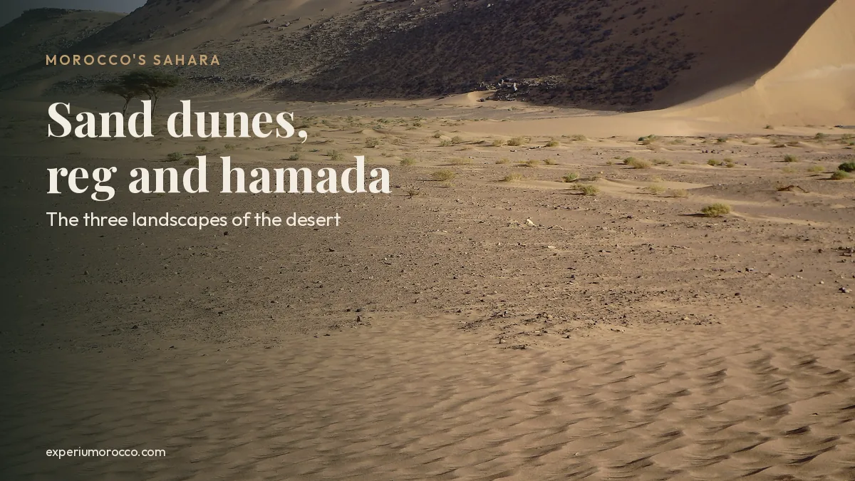
Picture the Sahara Desert and you probably see golden sand dunes rolling to the horizon. Morocco has plenty of them, and they are every bit as beautiful as the photos, but they are only part of the story. The Sahara is also a plain of loose stones you can walk across like a road, and bare rocky plateaus where the wind has swept away every grain of sand. Geographers use three words of Arabic origin to tell them apart: erg, reg and hamada. Here is what each one means, how the giant sand dunes of Erg Chebbi formed, and where to see all three Sahara Desert landscapes in Morocco.
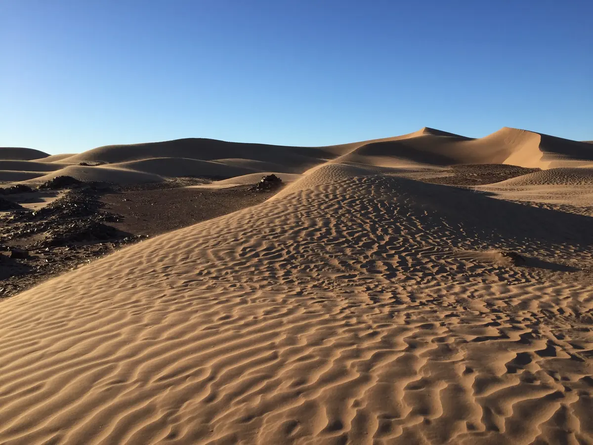
The Sahara Desert in Morocco has three main landscapes. An erg is a sea of sand dunes, like Erg Chebbi near Merzouga or Erg Chigaga near M’Hamid. A reg is a flat plain covered in gravel and stones. A hamada is a plateau of bare rock. The sand dunes get all the attention, yet sand covers only about 20% of the world’s deserts, while nearly half of their surface is stony plain.
PhotosAll the photos in this guide were taken by Mustapha AIT ISHA, licensed tour guide, on our desert routes in Morocco.
Erg, reg and hamada: the three Sahara Desert landscapes
The Sahara is not one endless sea of sand. Up close it is a patchwork of desert landforms that can change within a few kilometres, and each has its own name.
- ErgSea of dunes
Vast stretches of sand piled into dunes by the wind. This is the postcard desert of Erg Chebbi and Erg Chigaga.
- RegStony plain
Flat ground covered in gravel and pebbles, where the wind has already carried off the fine sand. Easy walking that seems to go on forever.
- HamadaRocky plateau
Bare rock, often on top of a plateau, with almost nothing loose left on it. The harshest of the three and the one travellers least expect.
Simplified cross-section: from rocky plateau to stony plain to sea of dunes.
So how much of a desert is actually sand? Far less than you might think. According to the US Geological Survey (USGS), sand covers only about 20% of the Earth’s deserts, while nearly half of their surface is gravel plains. The rest is exposed bedrock, desert soils and the deposits rivers leave behind when water flows.
- 20%Sand: dunes and sand sheets, the erg
- 50%Gravel and stony plains, the reg
- 30%Bare rock, soils and river deposits
Approximate figures for the world’s deserts as a whole. Source: USGS, Deserts: Geology and Resources.
Erg: how sand dunes form in the Sahara
Every dune starts with something as small as a bouncing grain of sand. Wind does not lift sand very high: the USGS explains that grains move downwind in short hops that rarely rise more than a centimetre above the ground. They climb the gentle, firm side of the dune facing the wind until they reach the crest. On the far side they pile up until the slope gives way and slides in small avalanches. That steep, soft face, called the slipface, is the one your feet sink into when you run down a dune.
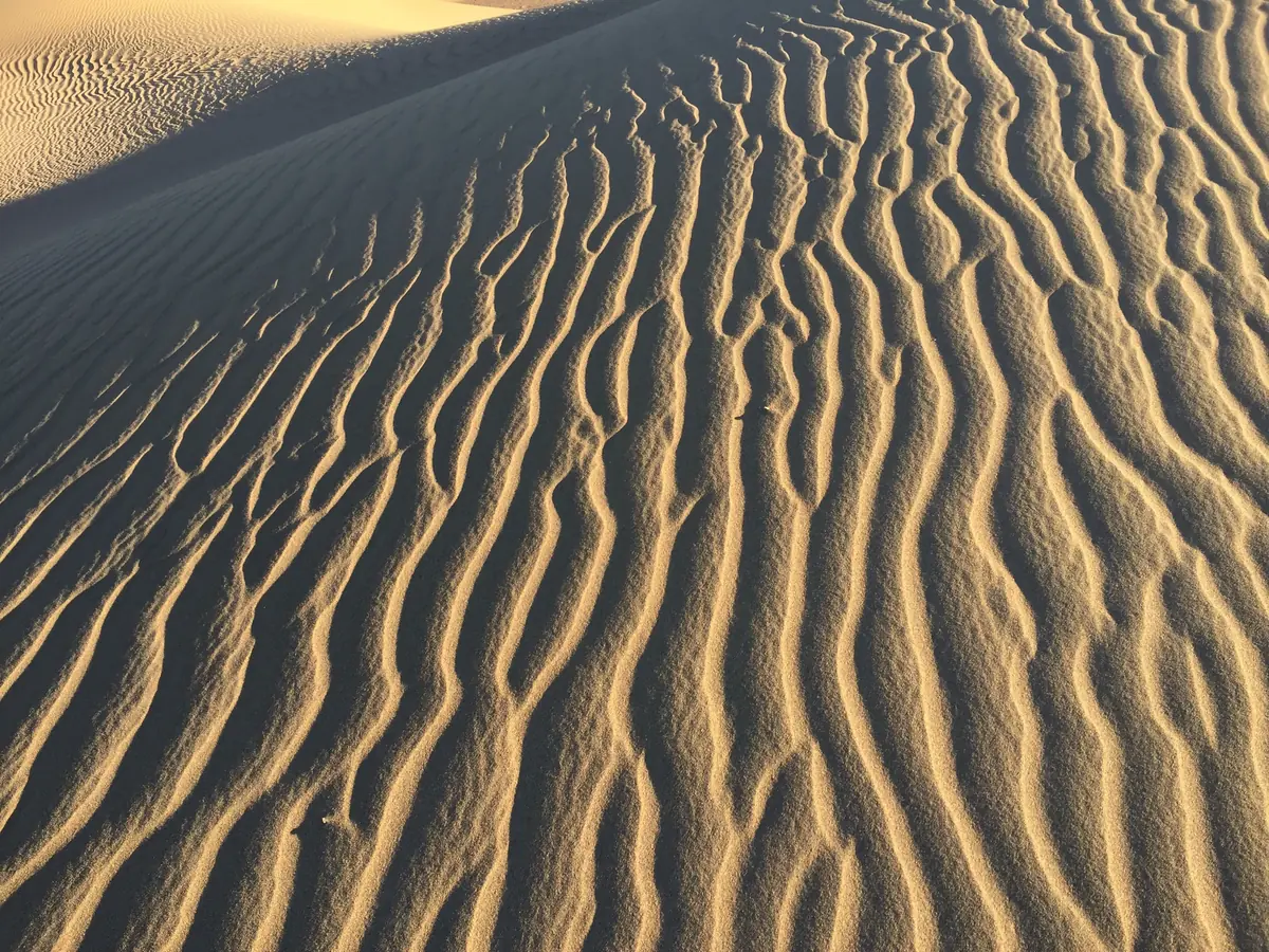
The ripples across the surface come from the same process on a tiny scale. They form at right angles to the wind, and the gap between one ripple and the next roughly matches the average length of those hops. That is why they change so fast: one windy night is enough to erase every footprint and draw a fresh pattern. Look closely and you will also spot tufts of grass holding the sand in place, which we cover in our guide to Sahara Desert plants.
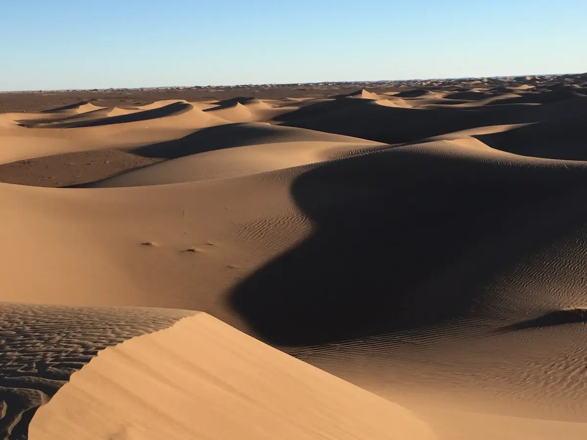
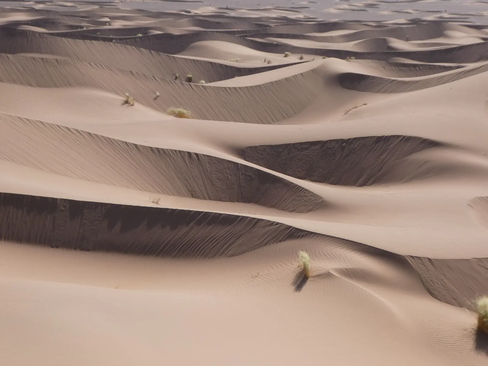
The shape of a dune depends on the wind. Where it blows mostly from one direction, you get crescent-shaped dunes or long ridges of sand. Where it shifts direction through the year, sand piles up into star dunes, with several arms radiating from a central peak. Star dunes are the stars, quite literally, of Morocco’s most famous erg.
Erg Chebbi: 13,000-year-old star dunes
Erg Chebbi, beside the village of Merzouga in southeastern Morocco near the Algerian border, is the best-known sea of sand dunes in the country. NASA has photographed it from the International Space Station and points out its star dunes, also called pyramid dunes, a distinctive feature of the Sahara. Another NASA satellite image notes that some of the tallest rise more than 100 metres.
One of them even has a name. It is called Lala Lallia, Berber for “highest sacred point”, and in 2024 a team from Aberystwyth University and Birkbeck, University of London, managed to date it. Their study, published in Scientific Reports, tells a much longer story than the dune lets on.
- About 13,000 years agoThe base of the dune forms, around the time of the Younger Dryas, a sudden cold spell.
- For about 8,000 yearsThe dune stops growing.
- Over the last thousand yearsIt grows quickly to its present size.
- 100 mhigh
- 700 mwide
- 50 cma year, heading west
Source: Aberystwyth University and Birkbeck, University of London, 2024.
That last figure is a reminder that a dune is not a fixed landmark. Lala Lallia is still on the move, slowly, towards the west. The researchers also point out that star dunes are common in today’s deserts but have almost never been found in the geological record, a mystery this study helps to solve.
Erg Chebbi vs Erg Chigaga: which desert to choose?
It is the question almost everyone asks when planning a desert trip from Marrakech. Both are large ergs in southern Morocco, in the Drâa-Tafilalet region, but they offer quite different experiences.
| Feature | Erg Chebbi | Erg Chigaga |
|---|---|---|
| Where | Next to Merzouga, Errachidia province | Near M’Hamid El Ghizlane, Zagora province |
| Access | Paved road to Merzouga; the dunes start right by the village | About two hours of 4×4 track from M’Hamid |
| The dunes | Star dunes, some over 100 m high | A dune field stretching about 40 km |
| Feel | Popular, with camps at the foot of the dunes | More remote; the silence is part of the trip |
Short on time? Erg Chebbi is easier to reach: on our 3-day Merzouga desert tour you ride in by camel for sunset and sleep in a private tent. If you would rather go somewhere wilder, the 4-day Erg Chigaga desert tour follows the Draa Valley down to M’Hamid and finishes on the track out to the dunes.
Reg: the stony plain
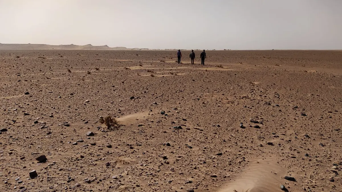
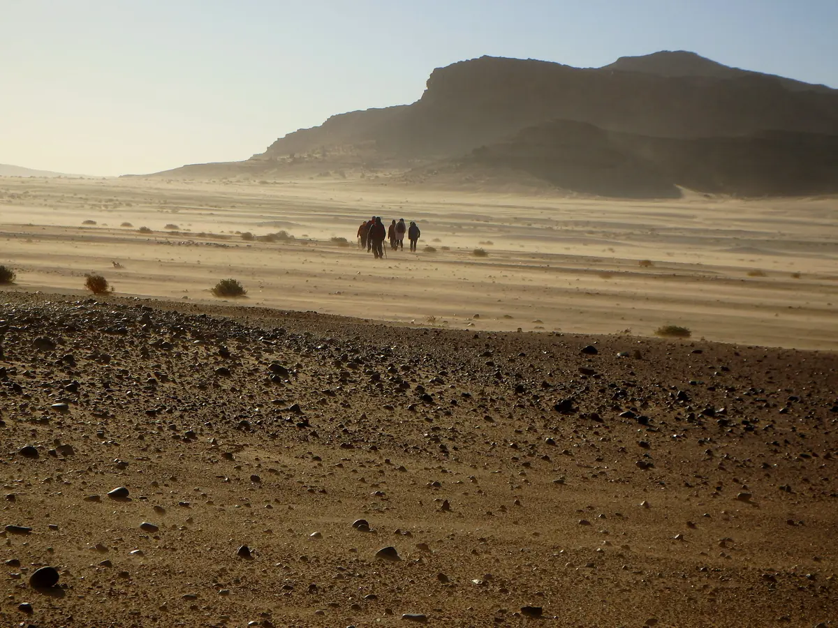
The reg covers more ground than any other Sahara landscape and gets the fewest photos. It is a plain of gravel and loose stones that runs on until it disappears. The USGS describes how it forms: wind strips away the fine particles, a process called deflation, and leaves behind the rock fragments too heavy to move. Over time those stones form a continuous layer that geologists call desert pavement.
For hikers, the reg is good news, as you move fast without sinking. For the eyes, it is an exercise in patience: the horizon never seems to get any closer, and a single distant hill can be your landmark for hours.
Hamada: the rocky desert
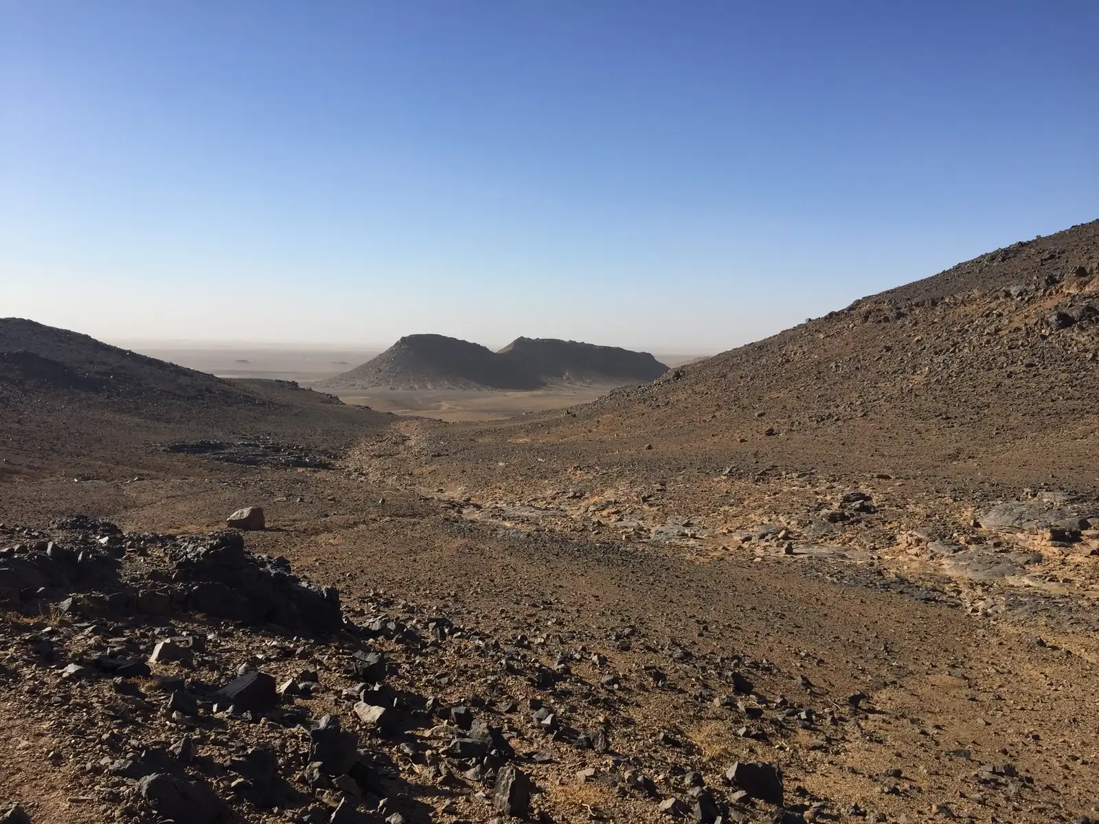
The hamada is the toughest face of the Sahara: a plateau of bare rock, often broken by cliffs and gullies, where the wind has blown away almost everything loose. It has neither the softness of the dunes nor the calm of the reg, which is why it surprises so many people crossing it for the first time.
In southern Morocco, rocky landscapes turn up in many places. Jbel Saghro, east of Ouarzazate, is a stone massif with plains of dark volcanic rock and flat-topped plateaus the Berbers call tadaout. It is known, fittingly, as the stone desert. Our Jbel Saghro trek crosses it on foot over six days of walking.
Where to see sand dunes, reg and hamada in Morocco
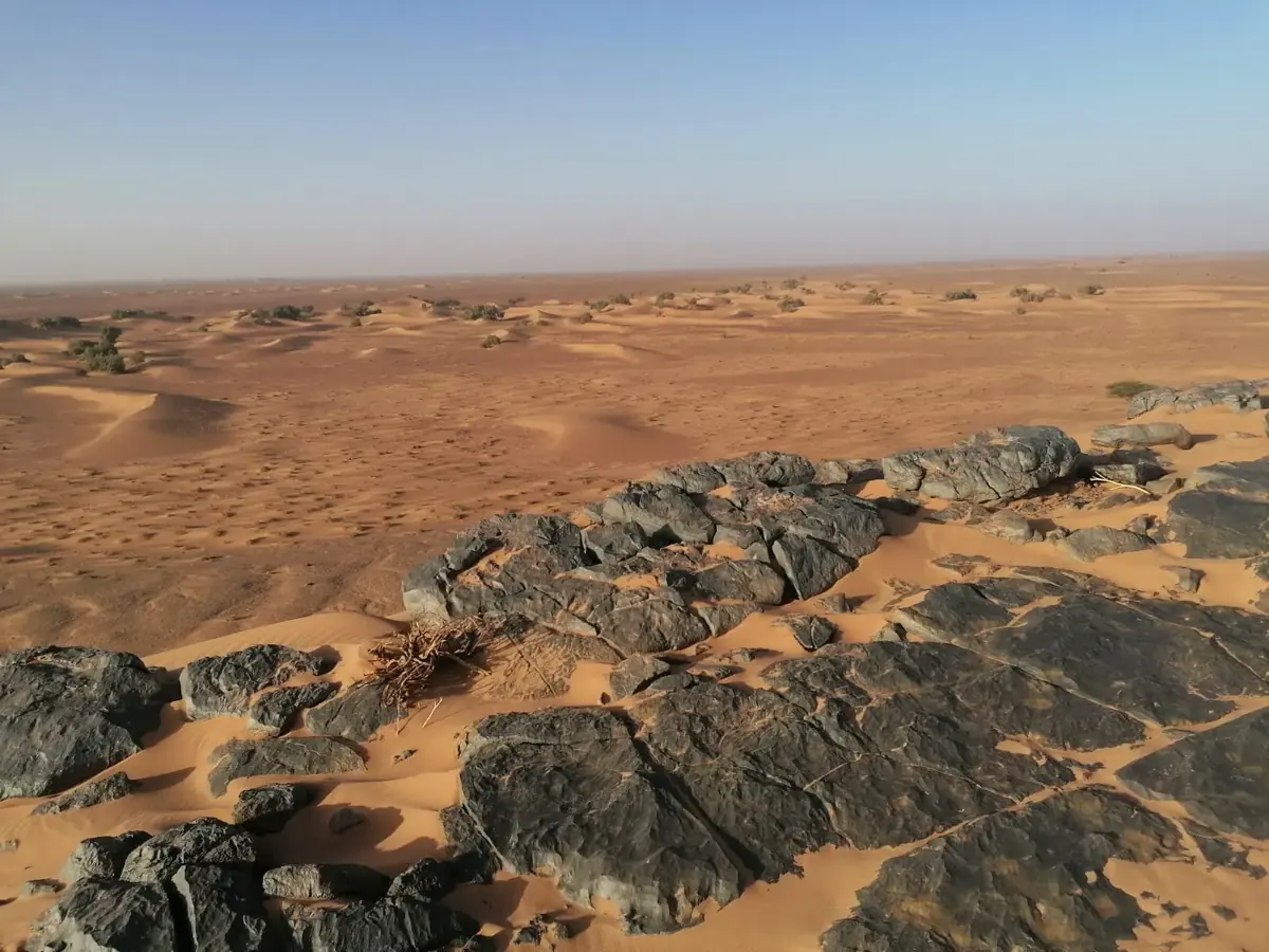
In many parts of the south, the three landscapes follow one another within a few kilometres: a ridge of black rock pokes through the dunes, a gravel plain ends at the foot of a sand ridge. You see exactly that in the Draa Valley, where the desert shows all its forms, from hamada to long lines of dunes. Our Draa Valley desert trek passes the dunes of Tidri, Erg Sahel and Ras Errich, at the foot of Jbel Bani.
What about the Agafay Desert? It lies just outside Marrakech and makes an easy day out, but it is not part of the Sahara and has no big sand dunes. Instead you get rocky hills and dry plains on a plateau, with the Atlas Mountains behind, a landscape closer to reg and hamada than to an erg. If that suits you, our Agafay Desert trip includes a camel ride and quad biking.
And Morocco’s Sahara does not end at Merzouga or Zagora. It carries on south through the Saharan provinces as far as Dakhla and Lagouira, where sand and stone run all the way to the Atlantic.
Sahara Desert landscapes in Morocco: FAQ
What is the difference between erg, reg and hamada?
They are the three main Sahara landscapes. An erg is a sea of sand dunes, a reg is a plain covered in gravel and stones, and a hamada is a plateau of bare rock.
Is the Sahara Desert all sand?
No. According to the USGS, sand covers only about 20% of the world’s deserts. Nearly half of their surface is stony plain like the reg, and the rest is rock, soils and river deposits.
Where are the sand dunes in Morocco?
The two big ergs are Erg Chebbi, next to Merzouga, and Erg Chigaga, near M’Hamid El Ghizlane. The Draa Valley has other dune fields too, such as Tidri, Erg Sahel and Ras Errich.
How high are the dunes at Erg Chebbi?
Some of Erg Chebbi’s star dunes rise over 100 metres, according to NASA. The Lala Lallia dune is about 100 metres high and 700 metres wide.
Erg Chebbi or Erg Chigaga: which is better?
Erg Chebbi is easier to reach, with a paved road all the way to Merzouga. Erg Chigaga takes about two hours of 4×4 track from M’Hamid, but it is quieter and more remote.
Does the Agafay Desert have sand dunes?
Not big ones. Agafay is a plateau of rocky hills and dry plains just outside Marrakech, a landscape closer to reg and hamada.