

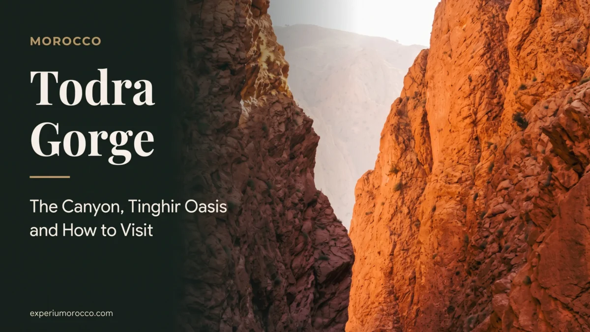
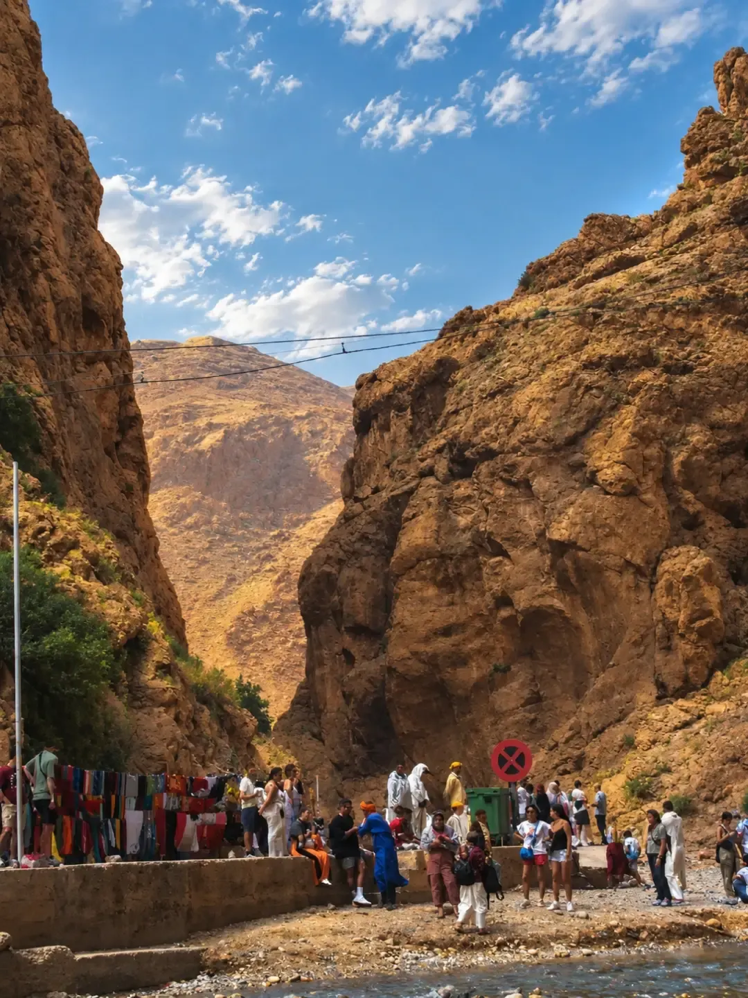
The Todra Gorge is a limestone canyon about 300 metres deep, cut by the Todgha river into the southern edge of the High Atlas, a short drive from the town of Tinghir. At its narrowest the cliffs close in over the track and the stream. This guide explains how the gorge formed, what to see in the canyon and the Tinghir oasis, how it compares with the Dades Gorge, and when to go.
The Todra (or Todgha) Gorge is in Tinghir province, about 15 km from town, on the road between Ouarzazate and the Merzouga dunes. The walls are around 300 metres high and reach about 400 in places. You explore it on foot along the riverbed, and it is a well-known rock climbing area. Spring and autumn are the best seasons, but after heavy rain take warnings seriously: the river can rise very fast.
Where is the Todra Gorge?
The gorge lies in Tinghir province, in the Drâa-Tafilalet region. The province fills a corridor between two mountain ranges, the High Atlas to the north and the Anti-Atlas to the south, and its two famous gorges, Todra and Dades, were carved by rivers coming off the mountains. The mouth of the canyon is about fifteen kilometres from Tinghir, heading north up the valley.
Tinghir itself is roughly 170 km east of Ouarzazate and 160 km west of Errachidia, right on the road many travellers take between Marrakech and the Merzouga dunes. That is why the Todra Gorge is usually a stop on a desert tour rather than a day trip from Marrakech.
The canyon: how high it is and what it is made of
The walls rise about 300 metres above the riverbed, according to academic studies of the valley, and come close to 400 metres in places. The diagram below draws the gorge to scale next to Marrakech’s Koutoubia minaret.
Simplified diagram. Wall height: De Haas and El Ghanjou (2000). Koutoubia: Marrakech-Safi Regional Tourism Council. 300 metres is roughly 1,000 feet.
The rock is a massive reef limestone laid down in a shallow sea at the start of the Jurassic, around 190 million years ago. A study in Estudios Geológicos describes fossil sponges in it and a thickness of about 350 metres right at the gorge. It is hard, compact stone, and that is the key to the whole landscape.
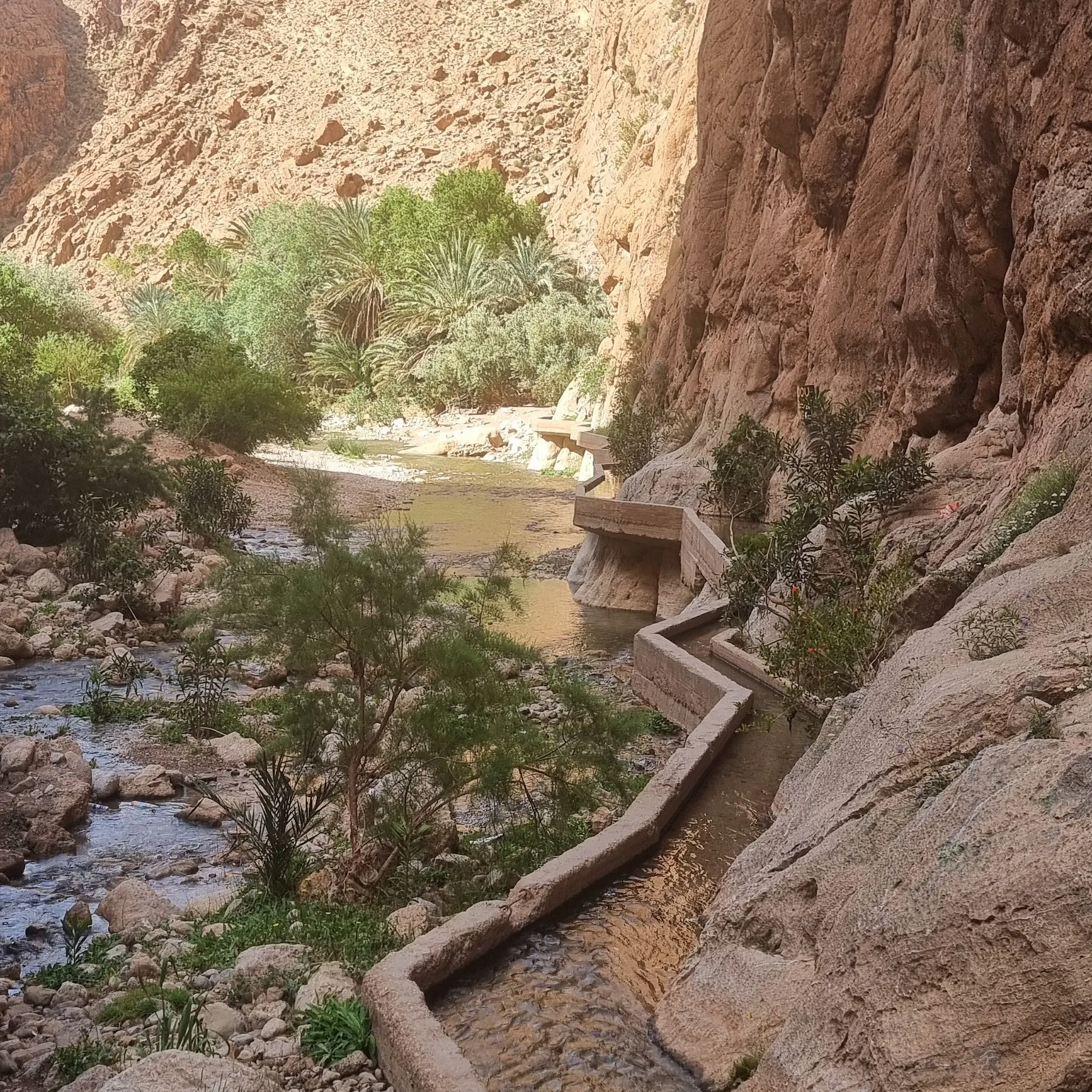
When a river crosses limestone this tough, it cannot widen its valley; it can only cut down. Research on the neighbouring Dades river shows that this cutting was very slow and came in pulses tied to the ice-age cycles of the Pleistocene. Where the rock is soft, the valley opens out and farm terraces appear; where it is hard, as here, you get a slot with vertical walls. A permanent spring, Sidi Mhamed ou Abdellah, also rises inside the gorge and keeps the river flowing all year.
The Todgha oasis and Tinghir
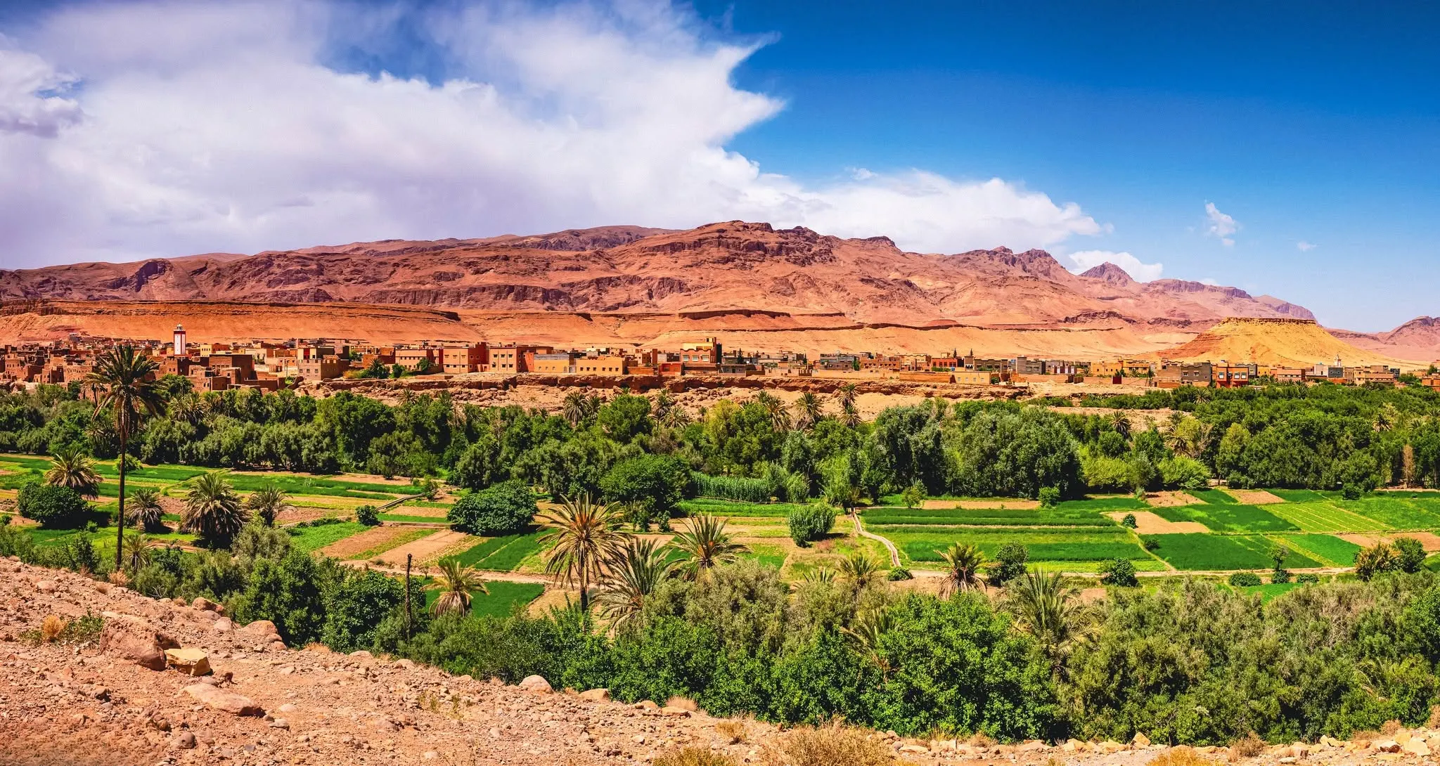
Once out of the gorge, the Todgha feeds an oasis close to 40 km long. Near the canyon the green strip is barely a hundred metres wide, but downstream it widens to about 4 km of palms and garden plots. The upper oasis sits at around 1,400 metres, which explains its cold winters.
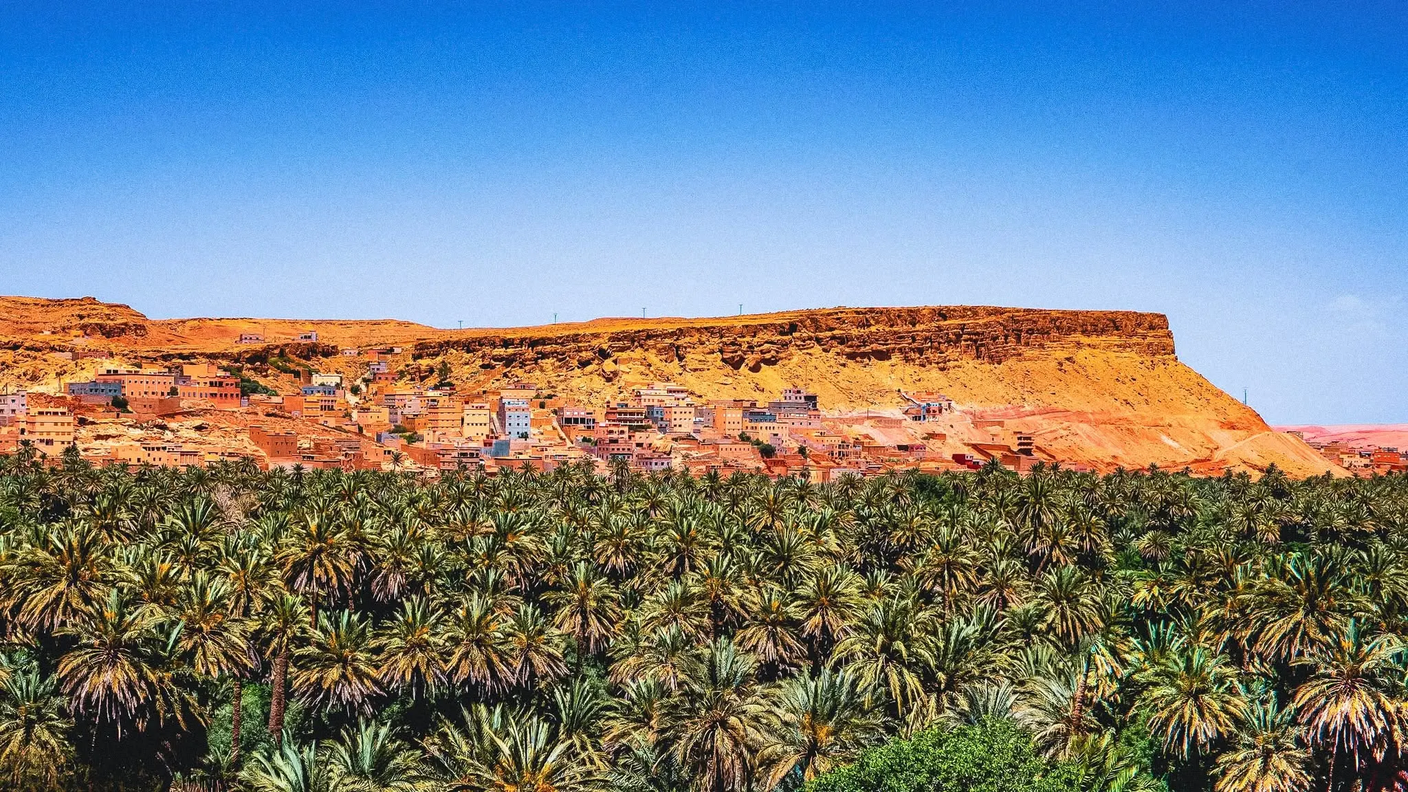
More than sixty ksour, fortified mud-brick villages, stand along the valley, many of them now empty or half abandoned. Amazigh families of the Todgha, the Aït Atta in the lower valley and, until the 1950s, a Jewish community all lived here. Further downstream, where the surface water disappears, people relied on khettaras, underground channels that carry water to the fields by gravity.
If earth architecture interests you, our Ait Ben Haddou guide explains the difference between a ksar and a kasbah and how rammed-earth walls are built.
Things to do at the Todra Gorge
- Walk the canyon floor: the narrow section is a short, easy walk beside the water with the cliffs towering above. This is what most visitors do.
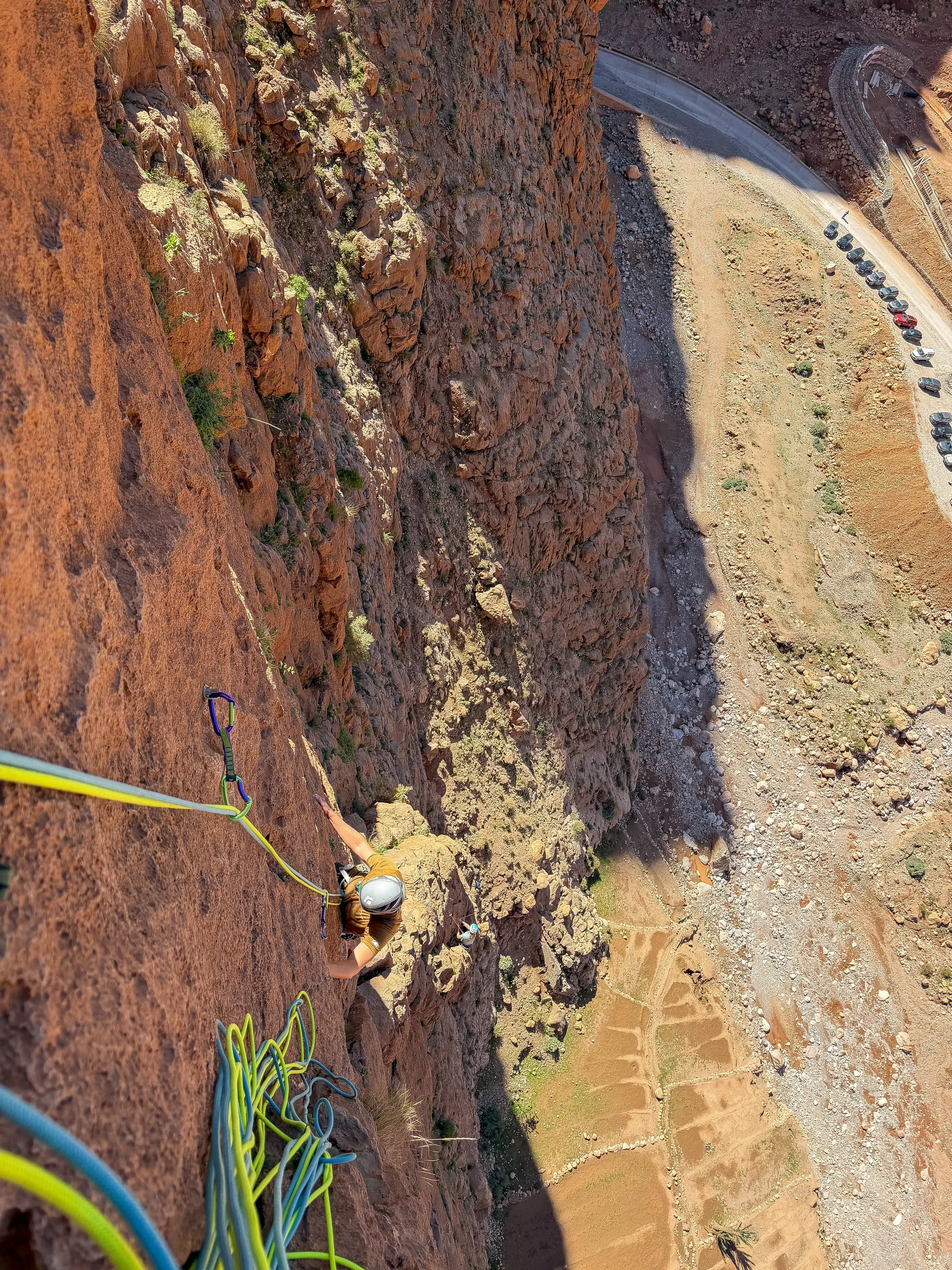
- Go climbing or try the via ferrata: the walls are a well-known climbing venue, and Morocco’s MAP news agency also reports a via ferrata at the foot of the cliffs and local guides who rent out gear.
- Hike through the palm grove: the garden paths between Tinghir and the gorge show how the water is shared out.
- See the oasis from above: from the heights around Tinghir the contrast between green valley and bare rock is striking.
Todra Gorge vs Dades Gorge
The two gorges are in the same province, about 50 km apart, and most people see both. They are not the same experience, though.
| Todra | Dades | |
|---|---|---|
| Where | North of Tinghir | North of Boumalne Dades |
| Scenery | Narrow canyon with sheer walls | Longer valley with rock formations and a winding road |
| How you see it | On foot, along the canyon floor | Mostly by car, with viewpoints and short walks |
| Best for | Feeling the scale of the cliffs, climbing | Panoramic views and road photography |
In the Dades, the shots everyone takes are of the road climbing the slope in tight hairpins and of the reddish hills locals call the “monkey fingers”. If your route covers both, walk the Todra and save the Dades for the views.
Best time to visit the Todra Gorge
The climate is dry and sharply contrasted. The nearest official stations with public World Meteorological Organization data are Ouarzazate and Errachidia, on either side of Tinghir: January lows average around 2 °C, while July highs pass 38 °C. It doesn’t rain much, but when it does, it pours.
- Spring (March to May): mild days and lovely light in the canyon.
- Autumn (late September to November): pleasant temperatures, but also the season of the strongest storms.
- Summer: the canyon floor offers shade, though the drive there is very hot.
- Winter: sunny days and freezing nights; pack proper warm clothes.
The river can rise in minutes. In October 2006 a flood peaked at about 1,444 m³/s and the water rose some 2.5 metres at a hotel inside the gorge, according to a study based on river basin agency data. If storms hit the mountains or you see warnings, stay out of the riverbed.
For the rest of your trip, our guide to Marrakech weather by month compares the city with the south.
How to get to the Todra Gorge
From Marrakech you cross the High Atlas over the Tizi n’Tichka pass, drop down to Ouarzazate and head east along the so-called Road of a Thousand Kasbahs, through Skoura, the Dades valley and Boumalne, to Tinghir. From there a road runs up the valley to the mouth of the canyon. It is far too long for a return day trip, so most people spend a night in the Dades or in Tinghir on the way to Merzouga.
If you are planning that kind of trip, our guide to desert trips from Marrakech compares the routes and how long each one takes. And if you carry on towards Erfoud, read our guide to Morocco fossils first.
Todra Gorge FAQ
Where is the Todra Gorge?
In Tinghir province, Drâa-Tafilalet region, about 15 km north of the town of Tinghir, on the southern edge of the High Atlas.
How high are the walls of the Todra Gorge?
Around 300 metres above the river (roughly 1,000 feet), reaching about 400 metres in places.
Can you do the Todra Gorge as a day trip from Marrakech?
It isn’t recommended: the drive is very long. Most people visit it on a multi-day tour to the desert, staying overnight in the Dades or Tinghir.
Todra or Dades Gorge: which is better?
They complement each other: the Todra is best enjoyed walking through a narrow canyon, the Dades for its viewpoints and winding road. They are about 50 km apart and easy to combine.
Can you climb in the Todra Gorge?
Yes, its limestone walls are a well-known climbing destination and local guides rent out equipment. Always climb with someone who knows the area.
Is the Todra Gorge dangerous?
Not in good weather. The real risk is flash flooding after storms: if it is raining in the mountains, stay out of the riverbed.
Sources
- Ettaki M., Ibouh H. and Chellaï E. H. (2007): sedimentology of the Liassic deposits of the Todrha gorges, Estudios Geológicos 63(2).
- De Haas H. and El Ghanjou H. (2000): General introduction to the Todgha valley, University of Amsterdam and Mohammed V University.
- Stokes M. et al. (2017): river incision of the Dades in the High Atlas, Quaternary Science Reviews 166.
- Oubezza A. (2014): flood study of the Oued Todgha, Faculty of Science and Technology, Fes.
- Drâa-Tafilalet Regional Tourism Council: Tinghir province.
- World Meteorological Organization: climate normals for Ouarzazate and Errachidia.