

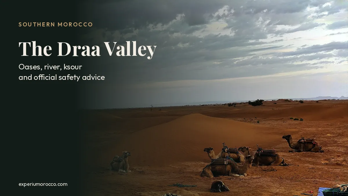
The Draa Valley is the long ribbon of palm groves that follows the Draa River from the dam near Ouarzazate down to M’Hamid el Ghizlane, where the open desert begins. It runs for about 200 kilometres through oases, mud-brick villages and dunes, and almost everything you see there depends on one thing: the water the river brings. Here we pull together what official bodies say about the valley and what our guide saw while crossing its dunes on foot with a camel caravan.
- Six oases in a row between Agdz and M’Hamid el Ghizlane, in Zagora province: Mezguita, Tinzouline, Ternata, Fezouata, Ktaoua and M’Hamid.
- The river no longer runs on its own. It depends on releases from the Al Mansour Eddahbi dam, and between them only pools remain.
- A Ramsar wetland since 2005 and part of UNESCO’s Southern Moroccan Oases Biosphere Reserve (2000).
- The walking season runs from October to April. In July the average high is around 42 °C (108 °F).
- After storms, dry riverbeds flood fast: Morocco’s Interior Ministry asks people not to cross flooded sections.
Where is the Draa Valley?
The middle Draa Valley lies in south-eastern Morocco, in the Drâa-Tafilalet region. It starts south of Ouarzazate, where the river leaves the Al Mansour Eddahbi dam, cuts through the Anti-Atlas to Agdz and then runs south-east past Zagora and Tagounite to M’Hamid el Ghizlane. There the river bends west and the land turns into stony hamada and dunes. To the north rises the Jebel Saghro; to the south-east, the long ridge of the Jbel Bani.
The information sheet Morocco filed with the Ramsar Convention describes a corridor about 200 km long and between 0.5 and 10 km wide, roughly 3 km on average, dropping from about 1,100 m to about 600 m above sea level. Beyond that strip, plant life shrinks to acacias and tamarisks in dry riverbeds, and the clash between green palms and bare rock is the first thing that strikes you.
From Marrakech, the road crosses the High Atlas over the Tizi n’Tichka pass and runs close to Aït Ben Haddou. Zagora is about 350 km away by road.
The six oases of the Draa, north to south
The middle valley is not one oasis but a chain of six palm groves, separated by narrow stretches of the river. The Ramsar sheet lists them from north to south, and each has its main towns:
| Oasis | Main towns and villages |
|---|---|
| 1. Mezguita | Agdz and the kasbah of Caid Ali at Tamnougalt |
| 2. Tinzouline | Tinzouline and nearby ksour |
| 3. Ternata | Zagora |
| 4. Fezouata | Amezrou and Tamegroute |
| 5. Ktaoua | Tagounite |
| 6. M’Hamid | M’Hamid el Ghizlane and Ouled Driss |
Each one follows the same layout: the river and irrigation channels in the middle, gardens in the shade of the palms and, along the edge on land that cannot be watered, the ksour, fortified mud-brick villages. Besides dates, the Ramsar sheet mentions fruit trees, henna, cereals, fodder and vegetables. Only the date palm holds out at the sand front, where the oasis meets the dunes.
A river run by a dam
Since the Al Mansour Eddahbi dam started regulating it, the Draa no longer flows on its own terms. According to the Ramsar sheet, its flow now depends entirely on releases: in a normal year there are six or seven, each of 25 to 40 million cubic metres. Between releases the bed dries out into a string of pools, the gueltas, and a few last all year because groundwater feeds them.
The water reaching the dam swings wildly from year to year. The same sheet records 1,432 million cubic metres in 1989-90 and only 36 million in 1983-84. Released water irrigates around 26,000 hectares of palm groves downstream.
Wells make up the rest, and that is where the trouble starts. Ramsar points to uncontrolled wells and pumping, salinity that rises from north to south and sand creeping along the valley floor. This is why Zagora province has capped watermelon, a very thirsty crop, at one hectare per farmer since 2022; in October 2024 the governor also banned it near the Draa and near drinking-water wells.
The valley’s natural value is officially recognised. The middle Draa has been a Ramsar wetland since 15 January 2005, covering 45,000 hectares of reservoir and oases, and it belongs to the Southern Moroccan Oases Biosphere Reserve designated by UNESCO in 2000.
The Draa: one dam, six oases and very little rain
- Mezguita: Agdz, Tamnougalt
- Tinzouline: Tinzouline and nearby ksour
- Ternata: Zagora
- Fezouata: Amezrou, Tamegroute
- Ktaoua: Tagounite
- M’Hamid: M’Hamid el Ghizlane, Ouled Driss
The blue line running down the river stands for one release from the dam, fading as it heads south. Diagram drawn from the approximate coordinates of each town, not a scale map. Rainfall, releases and altitudes: Ramsar sheet for the “Moyenne Dr’a” site. Original drawing by experiumorocco.com.
September 2024: when the desert filled with water
On 7 and 8 September 2024, an extratropical cyclone dumped heavy rain on the north-western Sahara. NASA’s Earth Observatory published satellite images showing water in lakes that are almost always dry, including the one in Iriqui National Park, created in 1994 west of M’Hamid. According to the spokesman of Morocco’s Interior Ministry, some areas received a normal year’s rainfall in two days.
The rain came at a cost. The Interior Ministry’s toll on 9 September counted 18 deaths across several southern provinces. On 20 and 21 September, Morocco’s weather service (DGM) issued new storm warnings for provinces including Tata, Zagora and Ouarzazate.
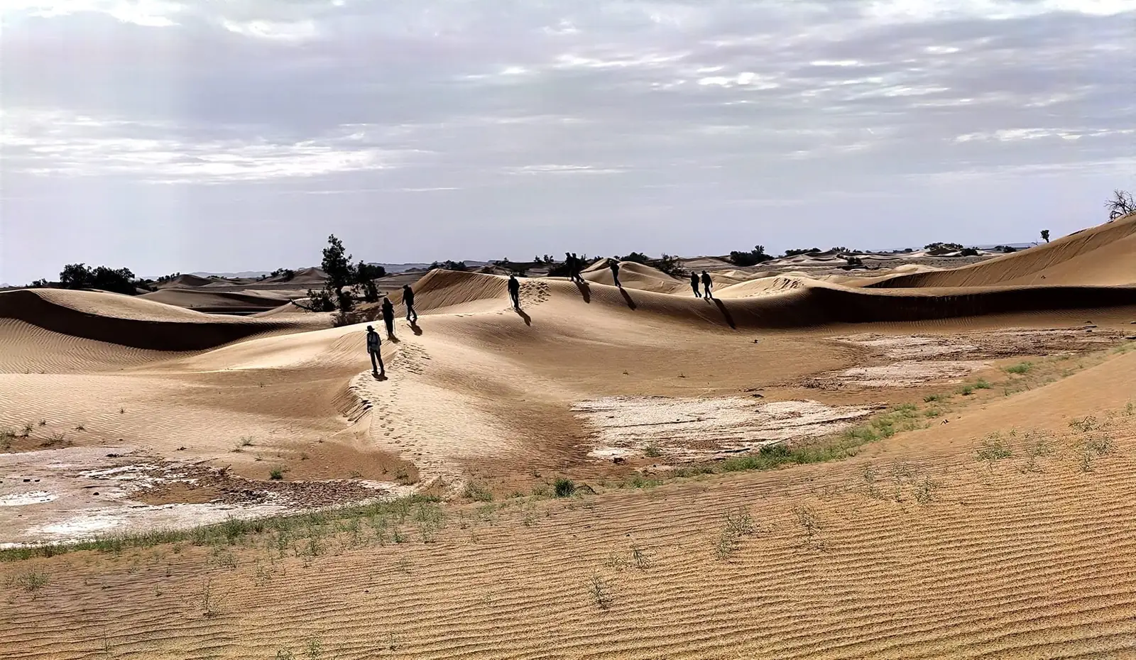
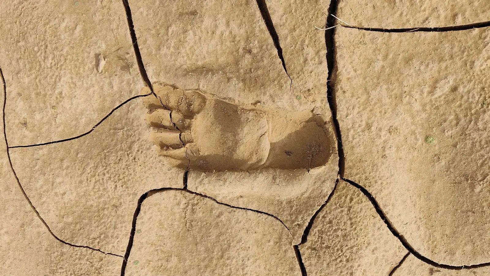
In mid-November, two months later, our guide was walking a group through the Draa dunes. His photos show what was left of the water: dried-up pool beds between the dunes, with a whitish crust and fresh grass, and plates of cracked mud still holding footprints.
The lesson for travellers is simple: in the south, a dry riverbed can turn into a river very quickly, even when the storm breaks far from where you are standing.
Tamegroute, the ksour and the kasbahs
Around 20 km south of Zagora, in the Fezouata oasis, Tamegroute is home to the Zaouia Naciria. According to the Drâa-Tafilalet Regional Tourism Council, it was founded in the 16th century and, a century later under Sheikh Mhammad Ben Nacer, became a major centre of Sufi learning, at a time when the village was a stop for trans-Saharan caravans. Its library keeps old manuscripts on theology, history, grammar and medicine. The village is also known for its green-glazed pottery. Library opening times vary, so ask on the spot before planning your visit.
In the valley’s ksour, many lanes run underneath the houses. These covered passages stay cool and dim, with light falling in patches from the courtyards. Walking through them is the best way to understand how people lived, and still live, in a village built of earth.
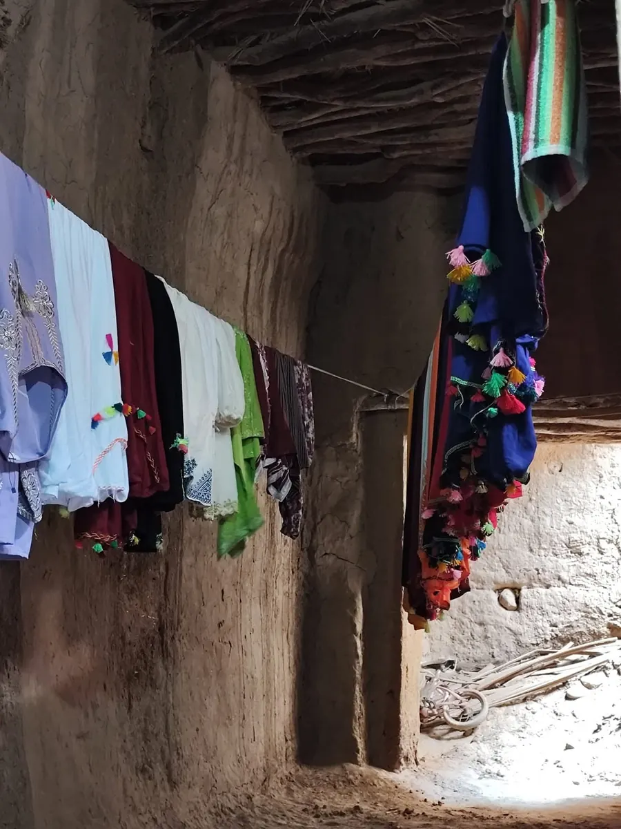
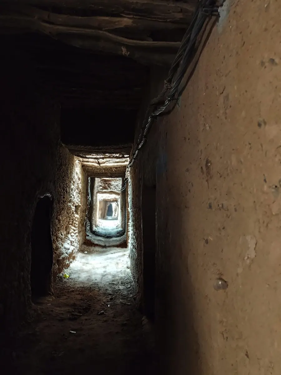
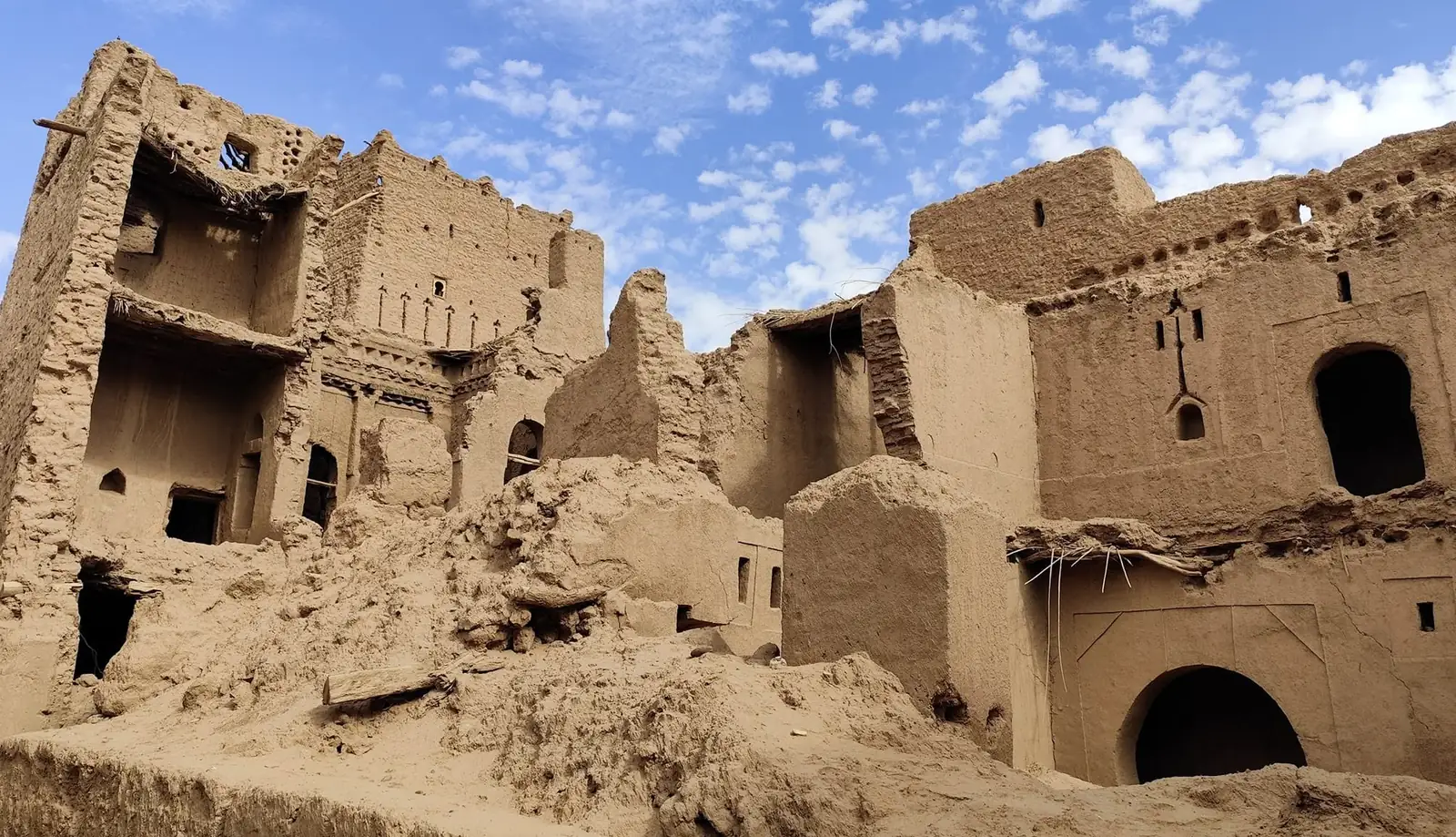
Mud brick needs constant care: one leaking roof is enough for a house to start falling apart. That is why, next to well-kept ksour, the valley is full of half-ruined kasbahs. In the Mezguita oasis near Agdz you can visit the kasbah of Caid Ali at Tamnougalt. The difference between a ksar and a kasbah is shown with a diagram in Ait Ben Haddou.
Walking the Draa dunes: what we saw
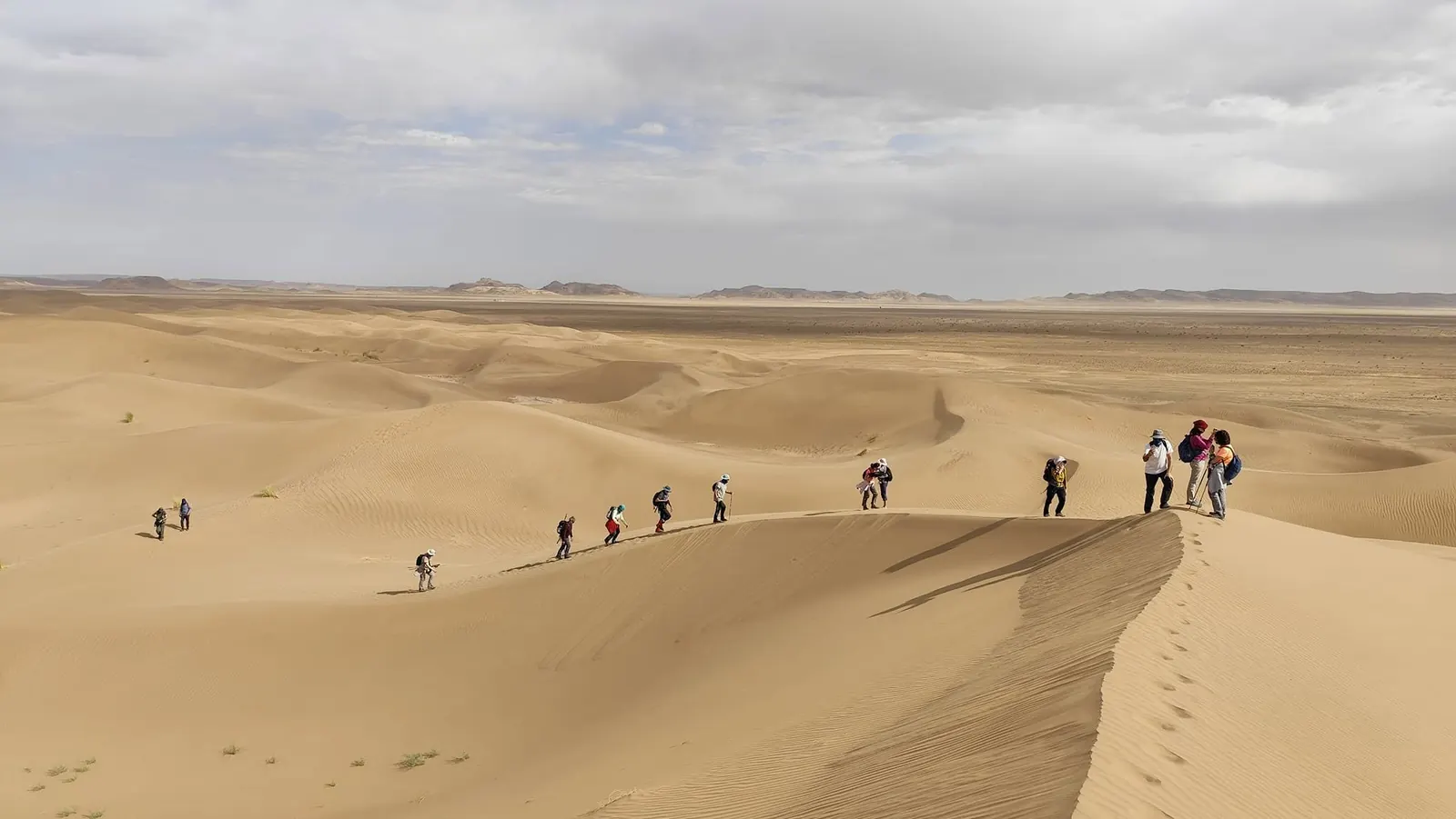
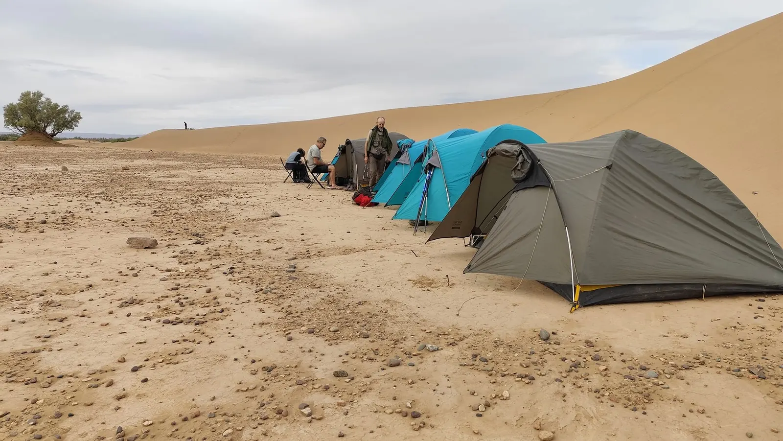
The photos in this guide come from a multi-day camel trek in the south of the valley in November 2024. The route our guide offers here starts in the Nesrat palm grove near Zagora and ends at Ouled Driss, a Saharan village with sand-filled lanes near M’Hamid. Along the way it passes the ksar of Sidi Salah, crosses the bed of the Draa, climbs the Tidri reg, about 150 metres above the plain, next to the ruins of the Foum Tidri fortress, then follows the dunes of Erg Sahel and Ras Errich at the foot of the Jbel Bani.
- You walk 5 to 7 hours a day, covering 14 to 18 km.
- Camels carry the water, food and camp gear. You only carry a daypack.
- Nights are spent in tents, among the dunes or by the palm groves, and the last night in a guesthouse at Ouled Driss.
- Along the way you pass burial mounds and camps of nomadic Aït Atta families with their goat-hair tents.
- One evening you get to taste tagoula, a bread baked under hot sand.
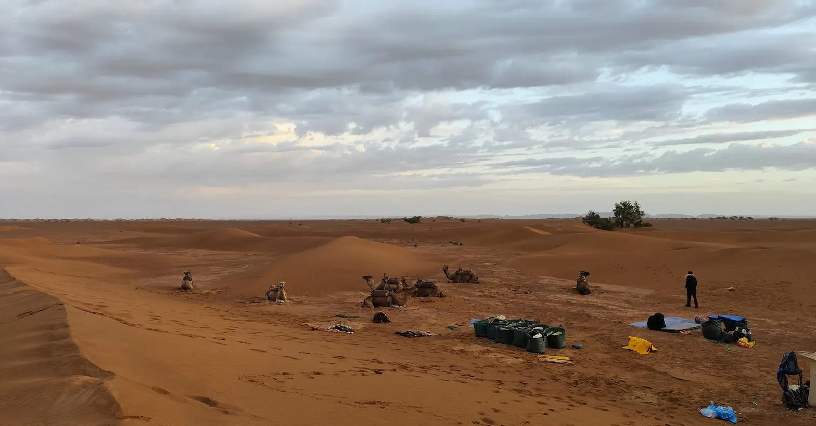
The photos show the rhythm of each day: camp goes up as the light fades, next to the palm grove when there is one, and the camels are loaded first thing in the morning. If you would like to do it yourself, the Draa Valley desert trek from Marrakech lasts nine days.
Torn between the Draa and Merzouga? Desert trips from Marrakech compares Zagora, Erg Chigaga and Erg Chebbi.
When to visit the Draa Valley
The climate is Saharan with cool winters. The Ramsar sheet mentions up to 48 °C in the shade in July and temperatures close to 0 °C in December and January. The table sums up twenty years of daily NASA data for the Zagora area.
| Month | Avg high | Avg low | Rain |
|---|---|---|---|
| January | 18 °C | 4 °C | 7 mm |
| February | 20 °C | 6 °C | 11 mm |
| March | 25 °C | 9 °C | 9 mm |
| April | 29 °C | 13 °C | 5 mm |
| May | 33 °C | 17 °C | 6 mm |
| June | 38 °C | 22 °C | 3 mm |
| July | 42 °C | 26 °C | 2 mm |
| August | 41 °C | 26 °C | 3 mm |
| September | 35 °C | 21 °C | 13 mm |
| October | 29 °C | 16 °C | 12 mm |
| November | 23 °C | 10 °C | 10 mm |
| December | 19 °C | 6 °C | 4 mm |
Shaded rows: trekking season. NASA POWER data, daily averages 2005-2024 for a grid cell centred near Zagora with a mean altitude of 930 m. The valley floor sits lower and is usually a little warmer. Average total rainfall: about 84 mm a year.
- October to April is the walking season, the one our guide sets for the trek. Days are pleasant; nights get cold in December and January, so bring a warm sleeping bag.
- June to August, with average highs of 38 to 42 °C, walking or driving in the middle of the day is very hard going.
- September and October get the most rain on average. It is not much, but it falls in storms, and those are what cause flash floods.
- According to Ramsar, wind is lightest in November and strongest in April. To cope with it, read up on hiking in a sandstorm.
Official advice for the valley
None of this advice is specific to the Draa, but all of it fits what happens in the valley: remote areas, riverbeds that flood without warning, heat and desert wildlife.
| Source | What it advises |
|---|---|
| GOV.UK (FCDO) | Walking and driving in flooded areas is dangerous. Follow the instructions of local authorities. |
| Morocco’s Ministry of Tourism | Travel with a licensed guide. For mountains and desert, that is the natural areas guide (Law 05-12). The ministry publishes a list of authorised guides. |
| Spain’s Ministry of Foreign Affairs | Use registered official guides and avoid unmarked desert areas. The border with Algeria is not always marked and can be crossed without noticing. Drink bottled water outside cities. Take out insurance with medical assistance and repatriation. |
| Morocco’s Interior Ministry | During floods, do not try to cross flooded sections of riverbeds and keep away from wadis and ravines. |
| Morocco’s weather service (DGM) | Check the warning map before setting out: storms, heat, wind. |
| Ministry of Health and Poison Control Centre (CAPM) | Wear shoes, especially at night, and check clothes, sleeping bag and shoes before using them. After a scorpion sting, go to the nearest health centre and skip traditional remedies. |
| Ramsar Convention | Hunting is banned in the oases of the middle Draa, a permanent hunting reserve. |
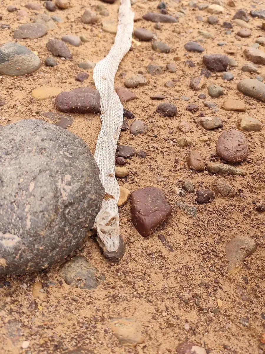
Morocco’s Poison Control and Pharmacovigilance Centre (CAPM) recorded 20,583 scorpion stings nationwide in 2025. Most happen in summer and at night. On the reg, the stony desert floor, watch where you put your hands and look before you sit down.
CAPM runs a free 24-hour line: 0801 000 180.
Save these numbers in your phone before you set off:
One last piece of common sense: go easy on water. In the oases, every litre comes from a regulated river or from groundwater the authorities watch closely. For precautions across the rest of the country, see is Morocco safe?
Draa Valley FAQ
Where is the Draa Valley?
In south-eastern Morocco, in the Drâa-Tafilalet region. It starts south of Ouarzazate and runs about 200 km, through Agdz and Zagora, to M’Hamid el Ghizlane on the edge of the desert.
What is there to see in the Draa Valley?
The palm groves of Agdz and Zagora, the kasbah at Tamnougalt, the zaouia and green pottery of Tamegroute, mud-brick ksour with covered lanes and, further south, the dunes around M’Hamid and Erg Chigaga.
How long is the Draa River?
It depends on how you measure it. The Encyclopédie berbère gives about 900 km, while other reference works give about 1,100 km. The middle valley, with the oases, covers about 200 km.
Does the Draa reach the ocean?
Very rarely. Below M’Hamid the bed turns west and only carries water during big floods. Its mouth, north of Tan-Tan, is another Ramsar site.
Is Zagora safe for tourists?
Follow the official advice above: travel with a licensed guide, stay away from unmarked desert areas and the Algerian border, and check storm warnings, since flash floods are the most serious natural risk.
Zagora or Merzouga?
Zagora is closer to Marrakech, about 350 km by road. The big dunes of the Draa are at Erg Chigaga, about two hours by 4×4 track from M’Hamid, while Merzouga has Erg Chebbi. They are compared in desert trips from Marrakech.
Sources
- Ramsar Convention: site no. 1482, “Moyenne Dr’a”, and its information sheet (2004-2005).
- Ramsar Convention: site no. 1477, “Embouchure de l’oued Dr’a”.
- UNESCO: Oasis du Sud Marocain Biosphere Reserve (2000).
- NASA Earth Observatory: A Deluge for the Sahara (September 2024).
- NASA Langley Research Center: NASA POWER, daily data 2005-2024 (cell centred on 30.33° N, 5.84° W).
- GOV.UK: Morocco travel advice, safety and security.
- Ministry of Tourism, Handicrafts and Social and Solidarity Economy of Morocco: tourist guides and list of authorised guides (Law 05-12).
- Spain’s Ministry of Foreign Affairs, European Union and Cooperation: travel recommendations for Morocco (in Spanish).
- Morocco’s General Directorate of Meteorology (DGM): weather warning map.
- Drâa-Tafilalet Regional Tourism Council: Zaouia Naciria, Tamegroute.
- Morocco’s Interior Ministry: September 2024 statements on the south-eastern floods, carried by the MAP news agency and SNRT.
- Morocco’s Ministry of Health and Social Protection and the Poison Control and Pharmacovigilance Centre (CAPM): national campaign against scorpion stings and 2025 figures.
- Zagora province: governor’s decisions on watermelon farming (2022 and 11 October 2024), reported by the Moroccan press.
- Convention on Biological Diversity: Morocco’s national report on protected areas (decree of 11 March 1994 creating Iriqui National Park).
- J. Riser, “Dra”, Encyclopédie berbère.